An Instant PDF Download
QGIS GUIDE 03
Discover how AI can help you retrieve spatial data, generate and organize layers, and simplify repetitive mapping tasks, allowing you to spend less time navigating technical processes and more time focusing on site analysis, design, and visual communication.
QGIS AI Plug-in
Learn how to use AI in QGIS to make mapping, data organization, and layer styling easier, with a visual guide created specifically for architecture and urban design students.
Working with QGIS can sometimes feel complicated, especially when trying to find the right data, organize multiple layers, or figure out which tools to use.
This guide introduces an AI plug-in for QGIS that can help simplify some of these steps. Instead of spending so much time manually searching for data and creating layers, you can use simple prompts to help build your maps.
I also included some of my essential QGIS tools, mapping tips, and styling methods that I regularly use for site analysis, studio projects, and architectural presentations.
The goal is not to explain every feature in QGIS, but to share a few useful tools and methods that can make your workflow easier and help you create cleaner, more organized maps.
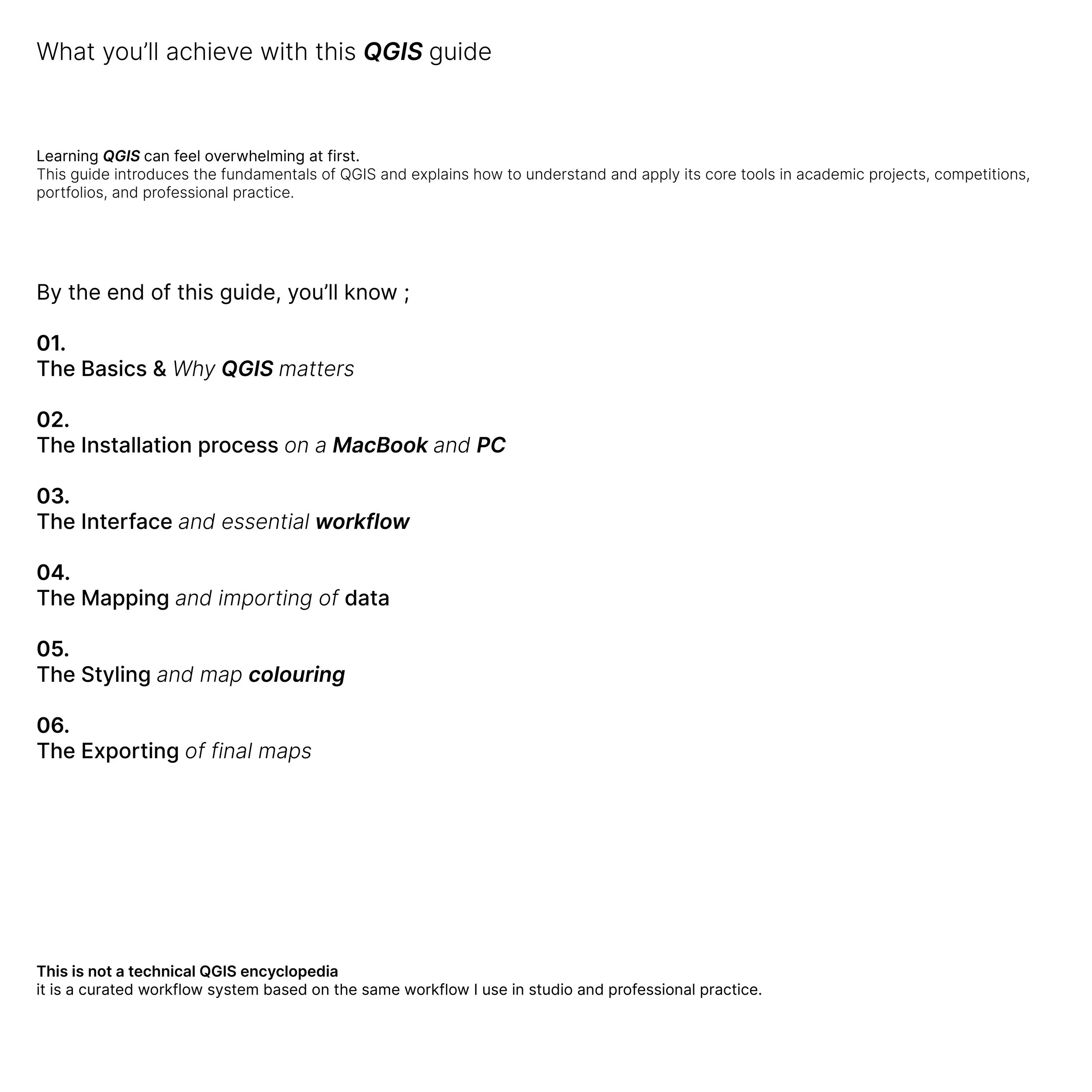
WHAT'S INSIDE?
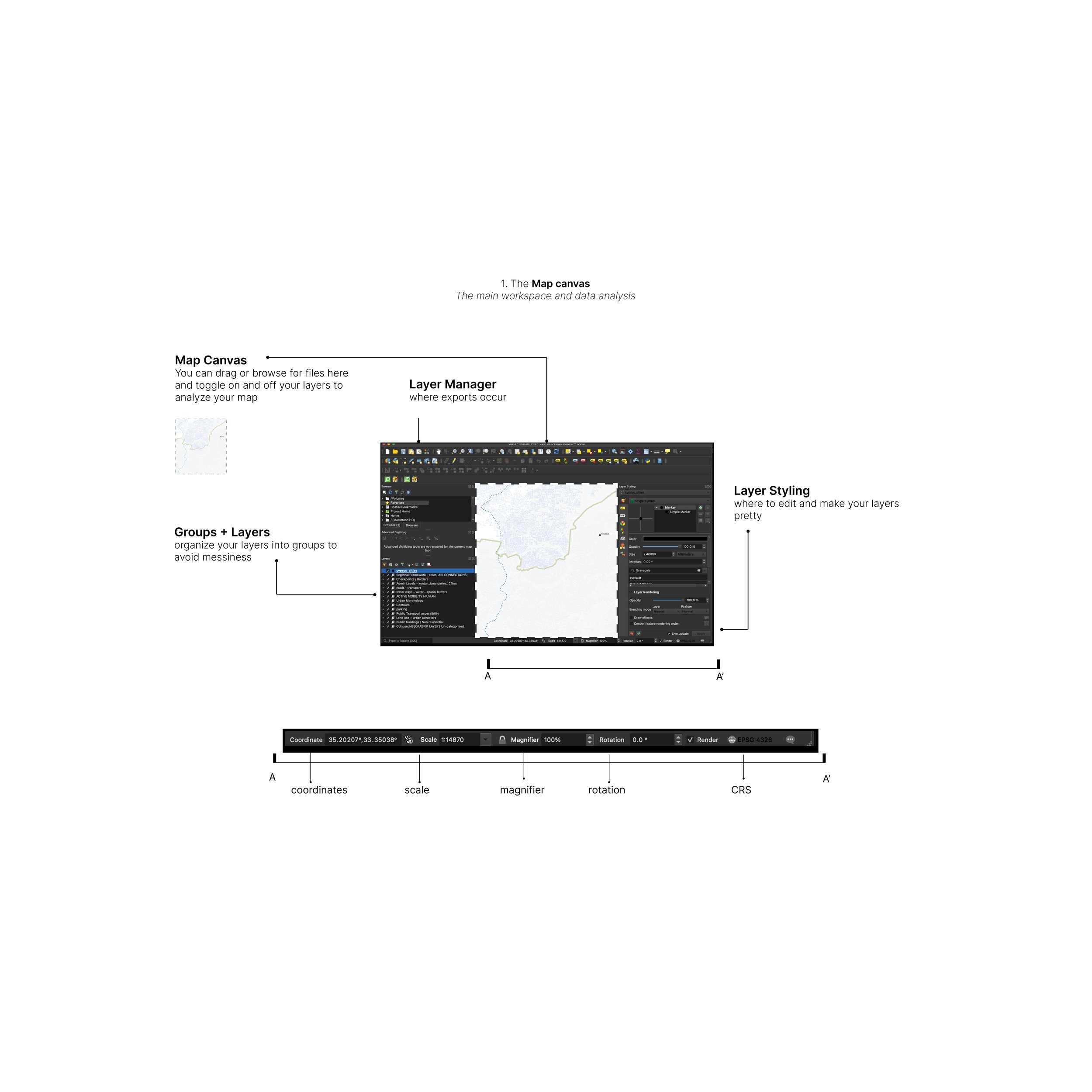
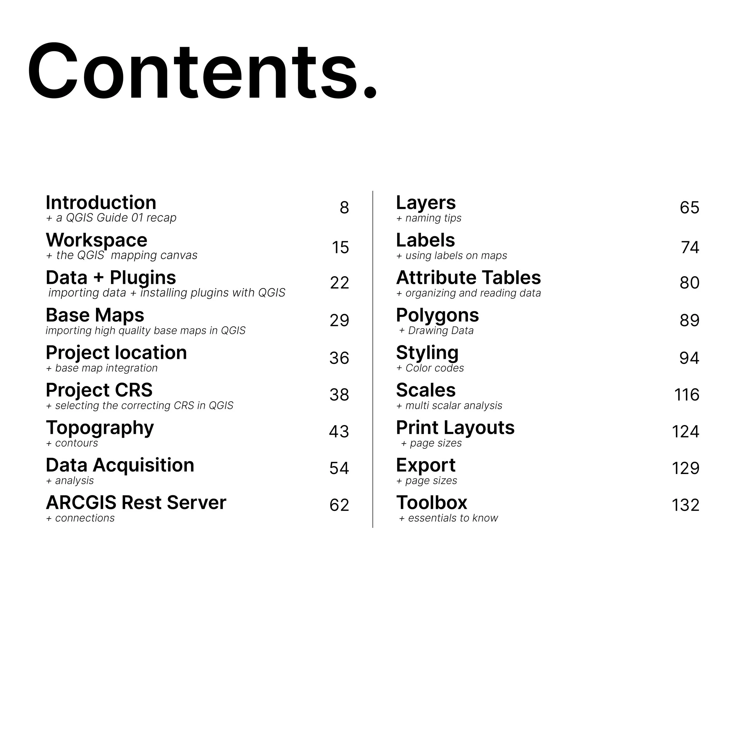
The guide is divided into 3 main learning categories — INTRO, PLUGIN, TOOLBOX.
Introduction + a QGIS Guide 01 recap
The plug-in + some examples
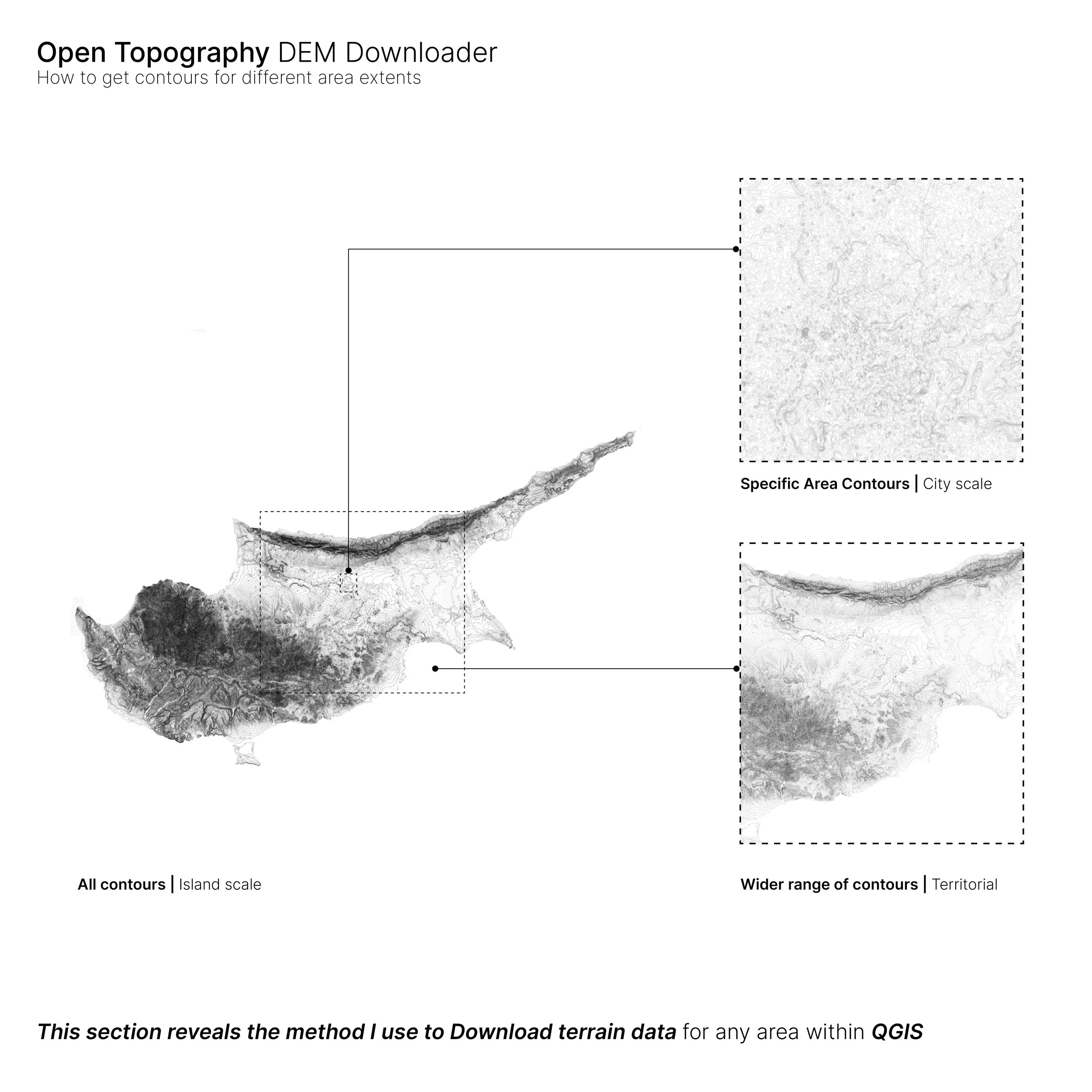
Toolbox + essentials to know
Note: This is not a technical QGIS encyclopedia
It is a curated, visual workflow based on methods developed through academic studio experience and professional practice.
The goal is not to teach every tool in QGIS. It is to show you the tools and methods that are most useful for architecture, urban design, site analysis, and visual mapping.
Why download it?
→ Learn how to use an AI plug-in in QGIS to simplify your mapping workflow
→ Spend less time manually searching for data and creating layers
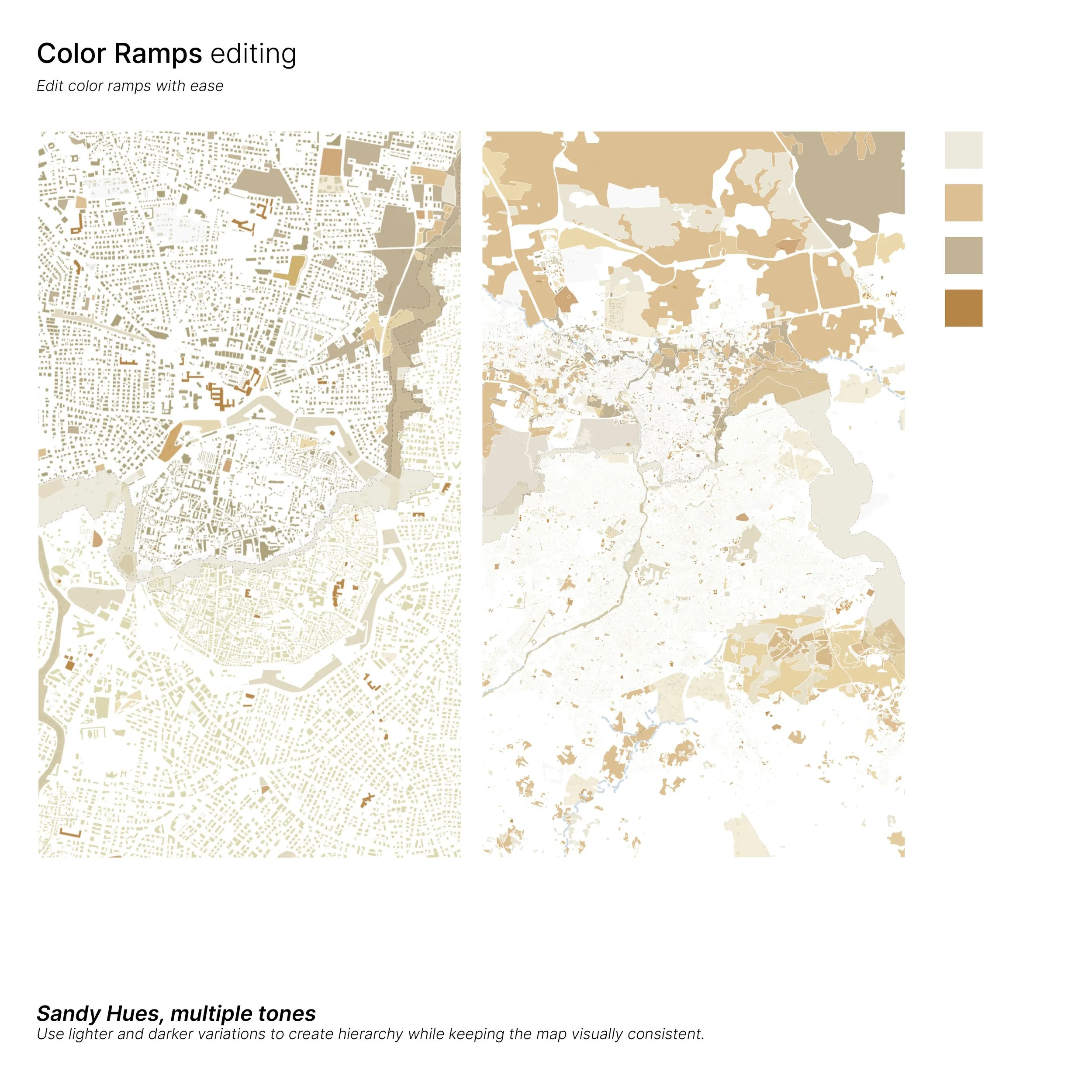
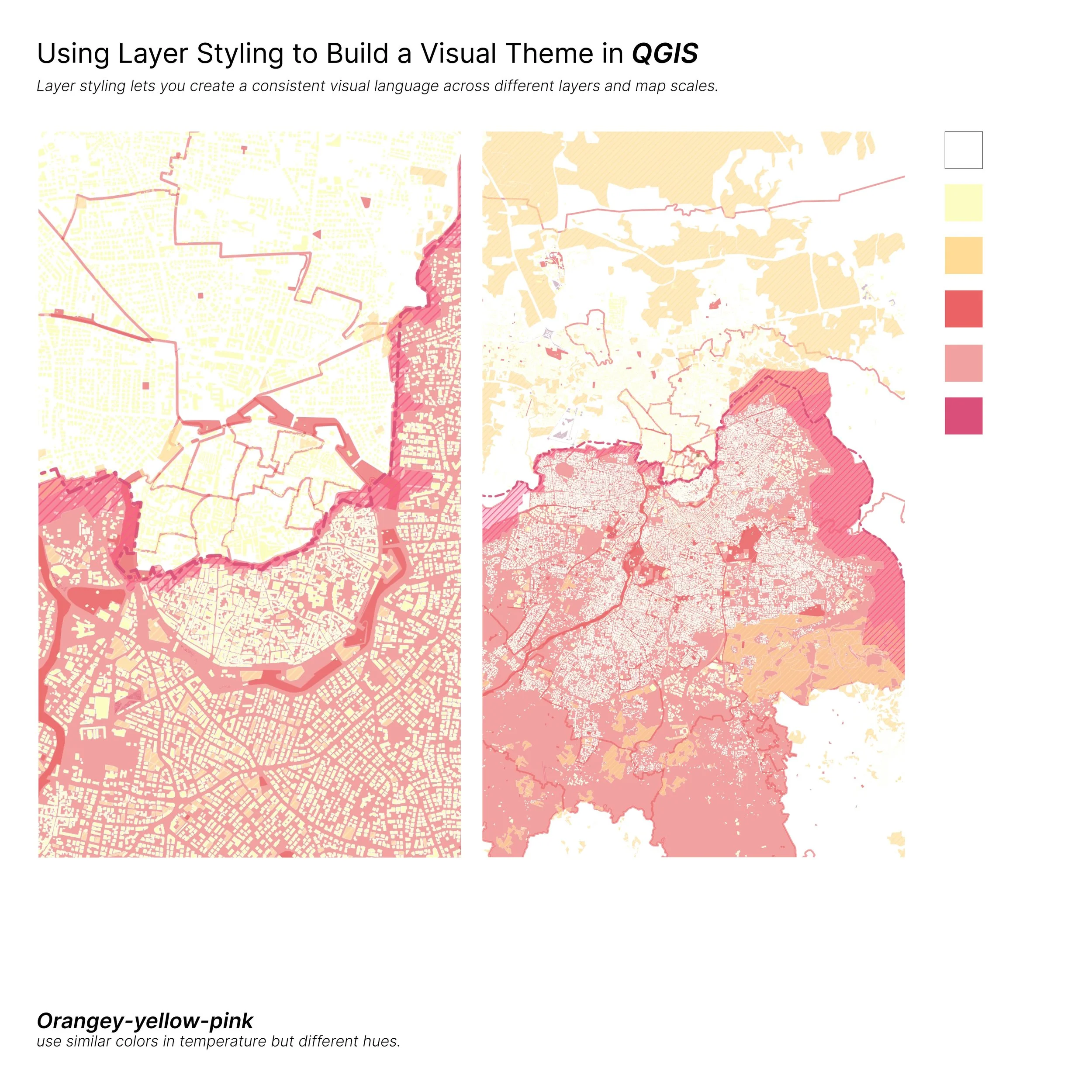
→ Learn how to organize and style your maps more efficiently
→ Discover useful QGIS tools that you might not know about
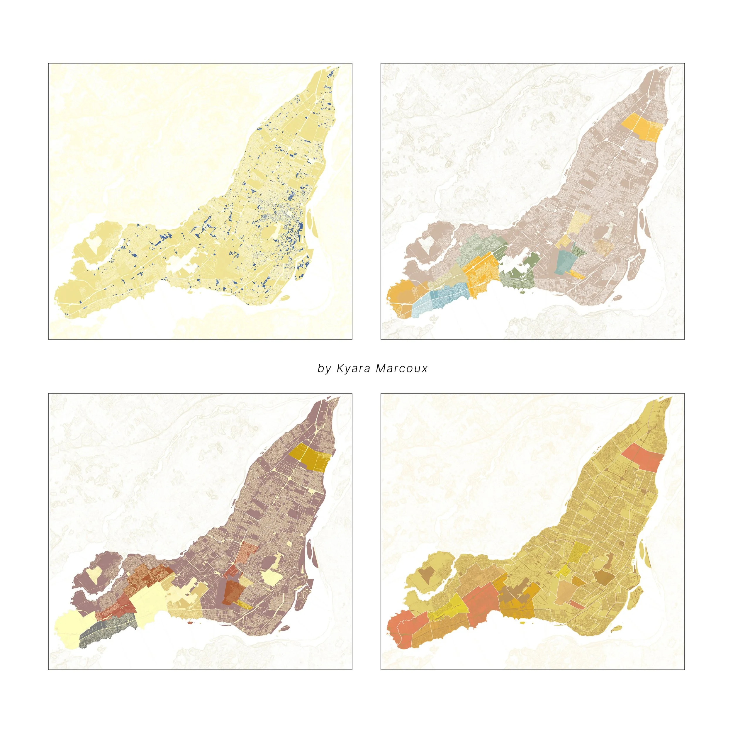
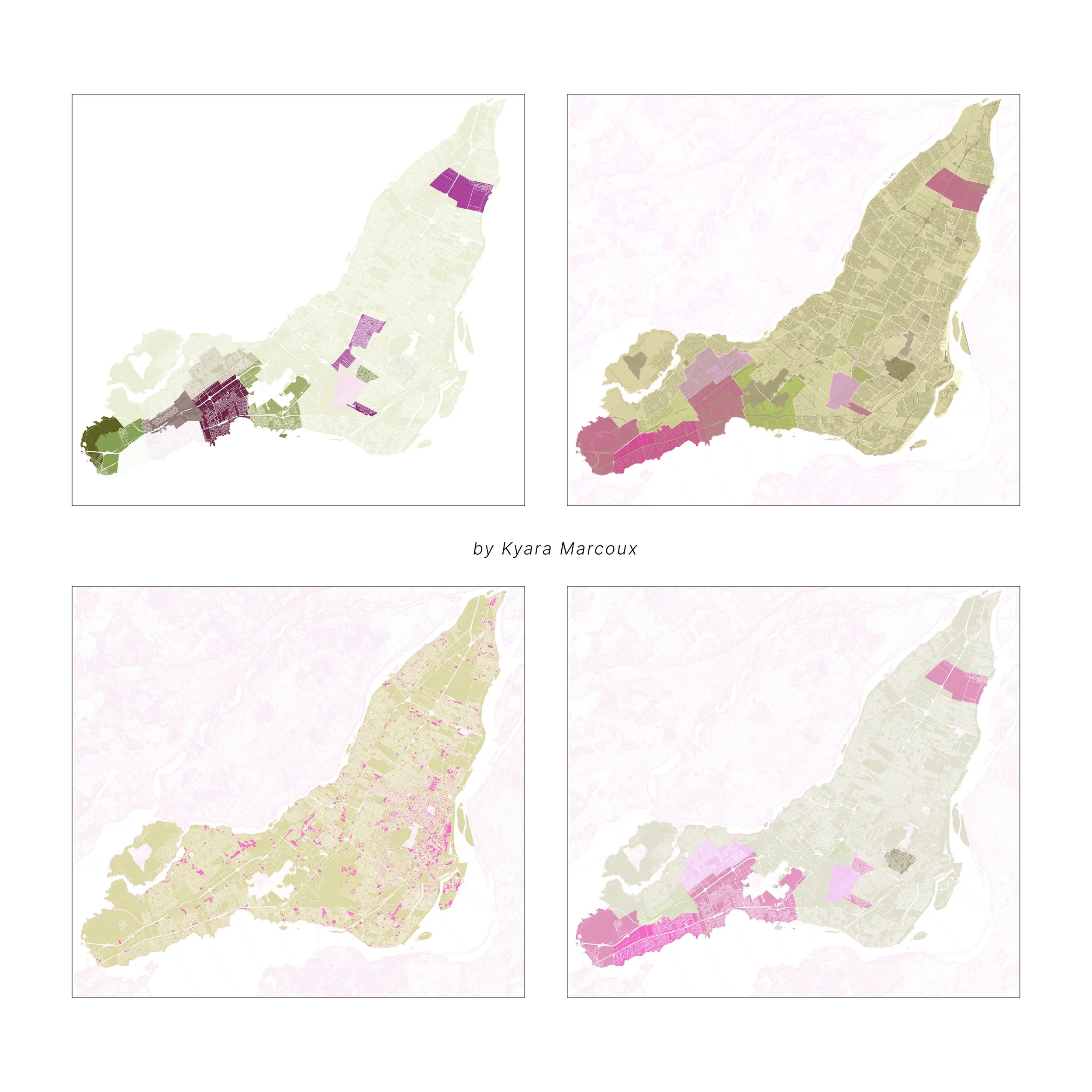
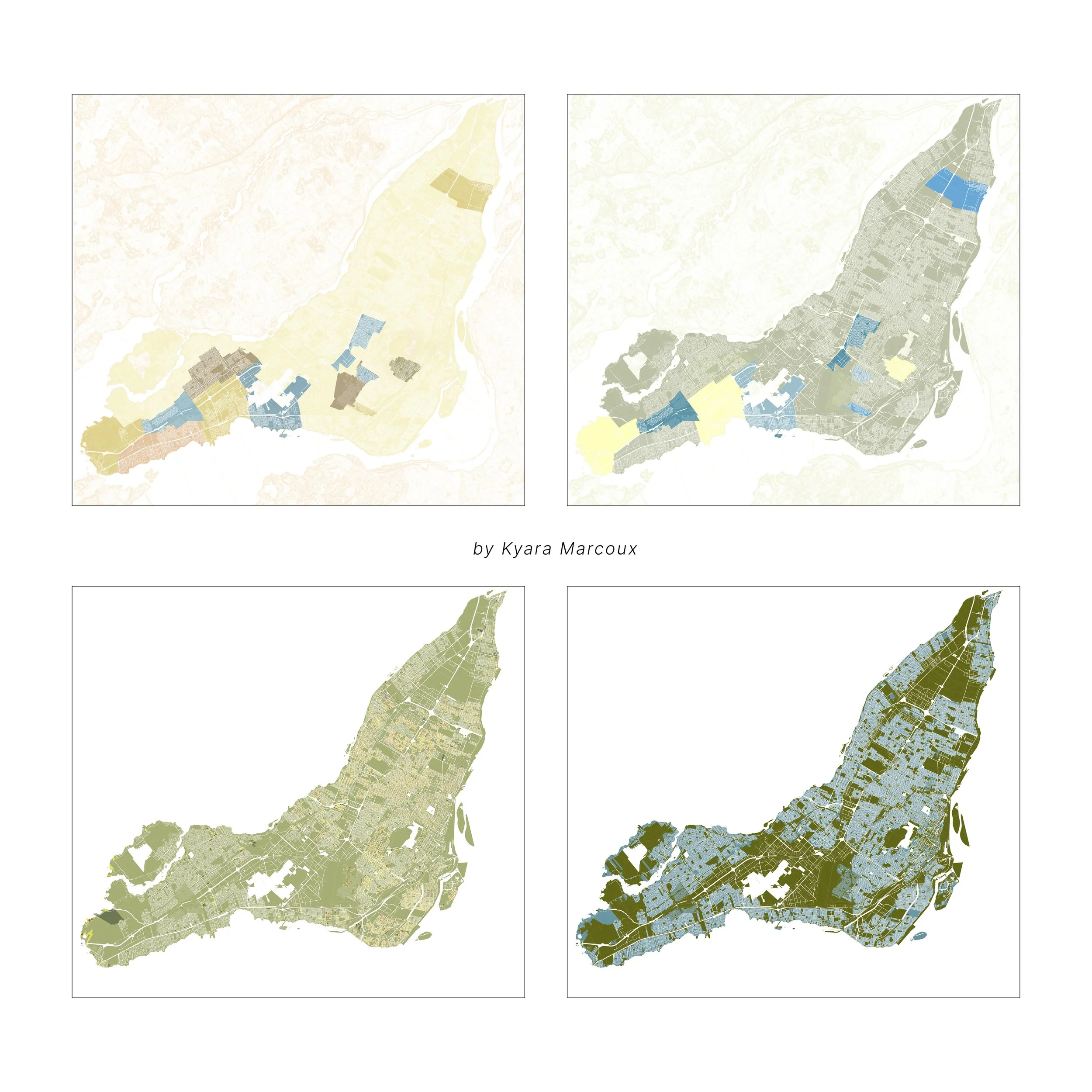
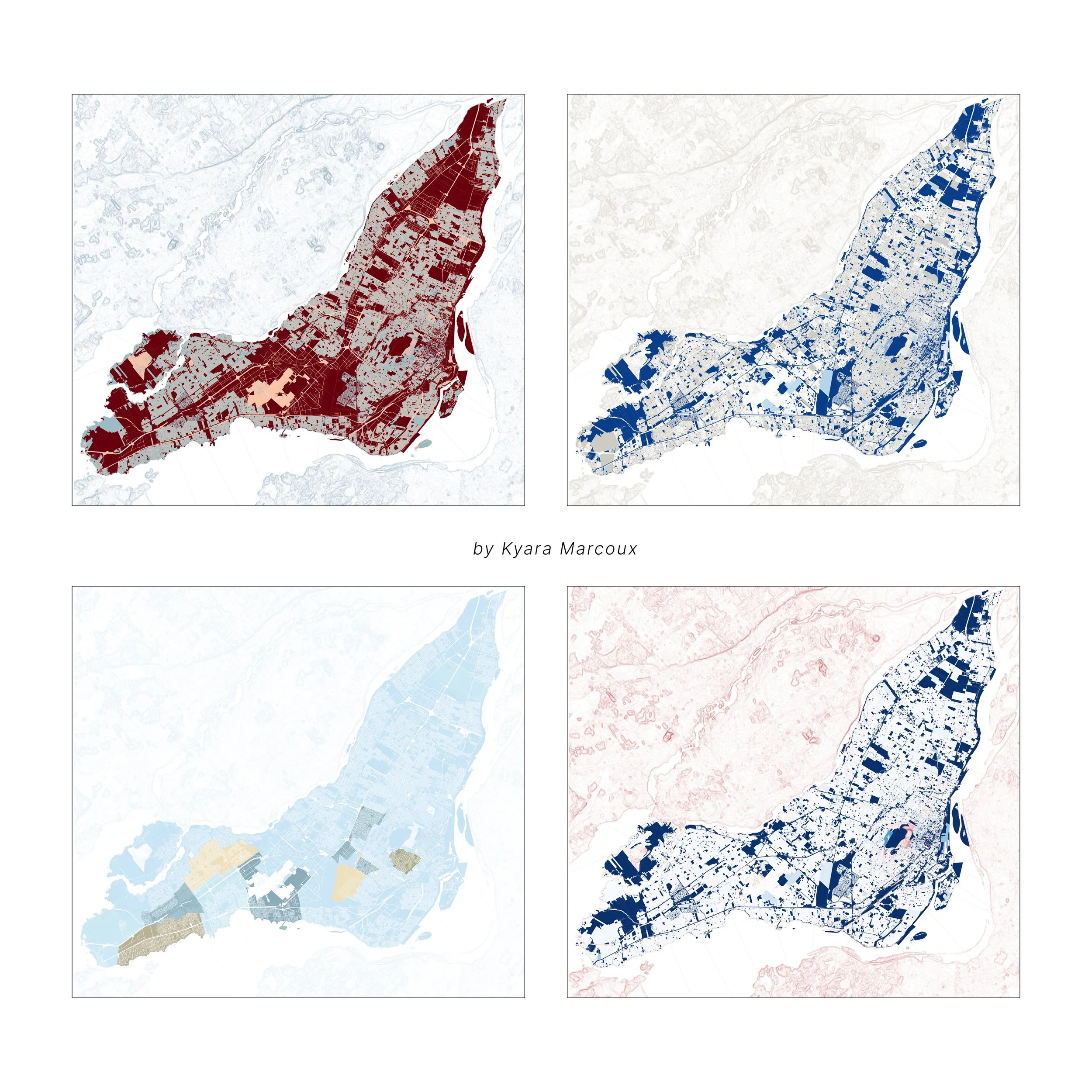
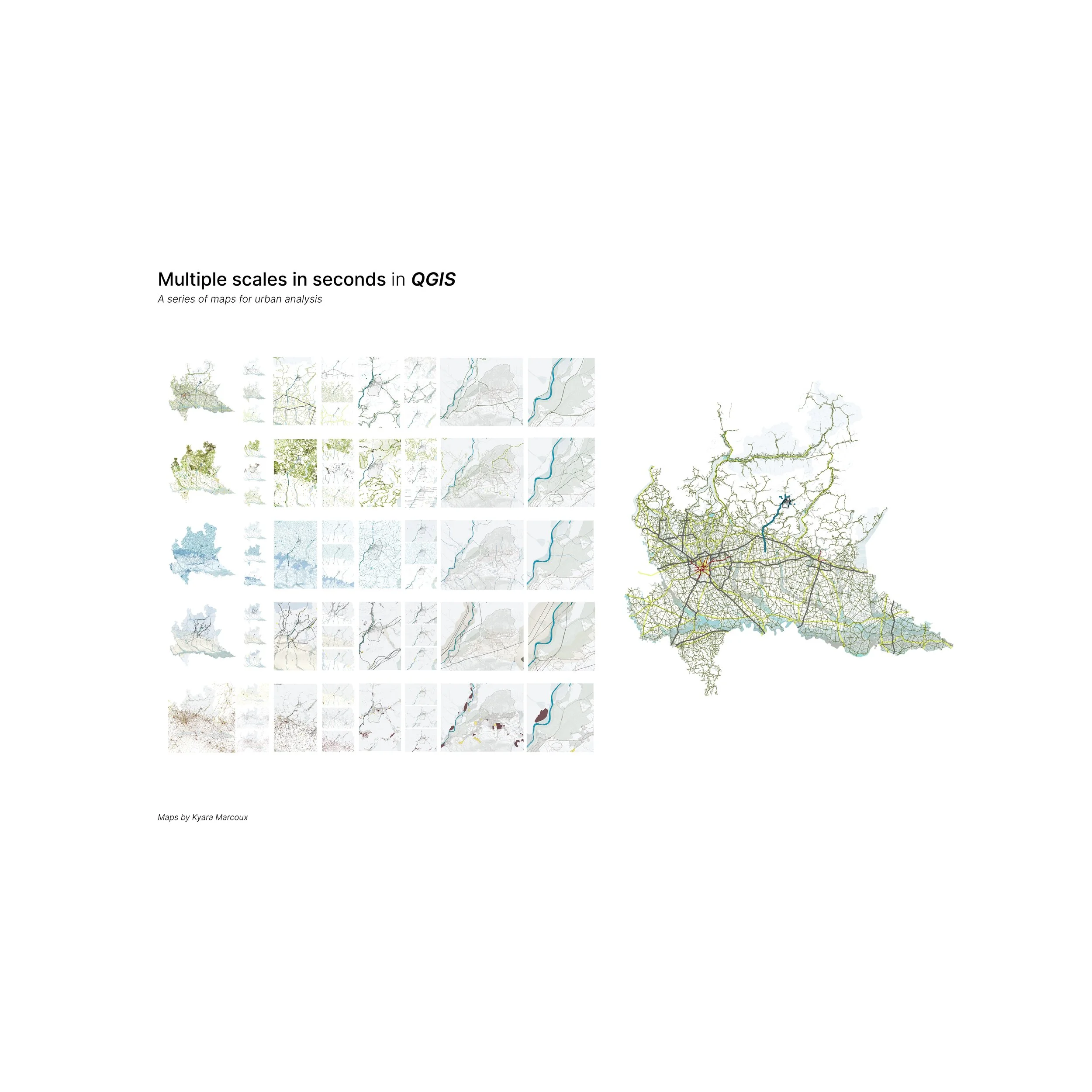
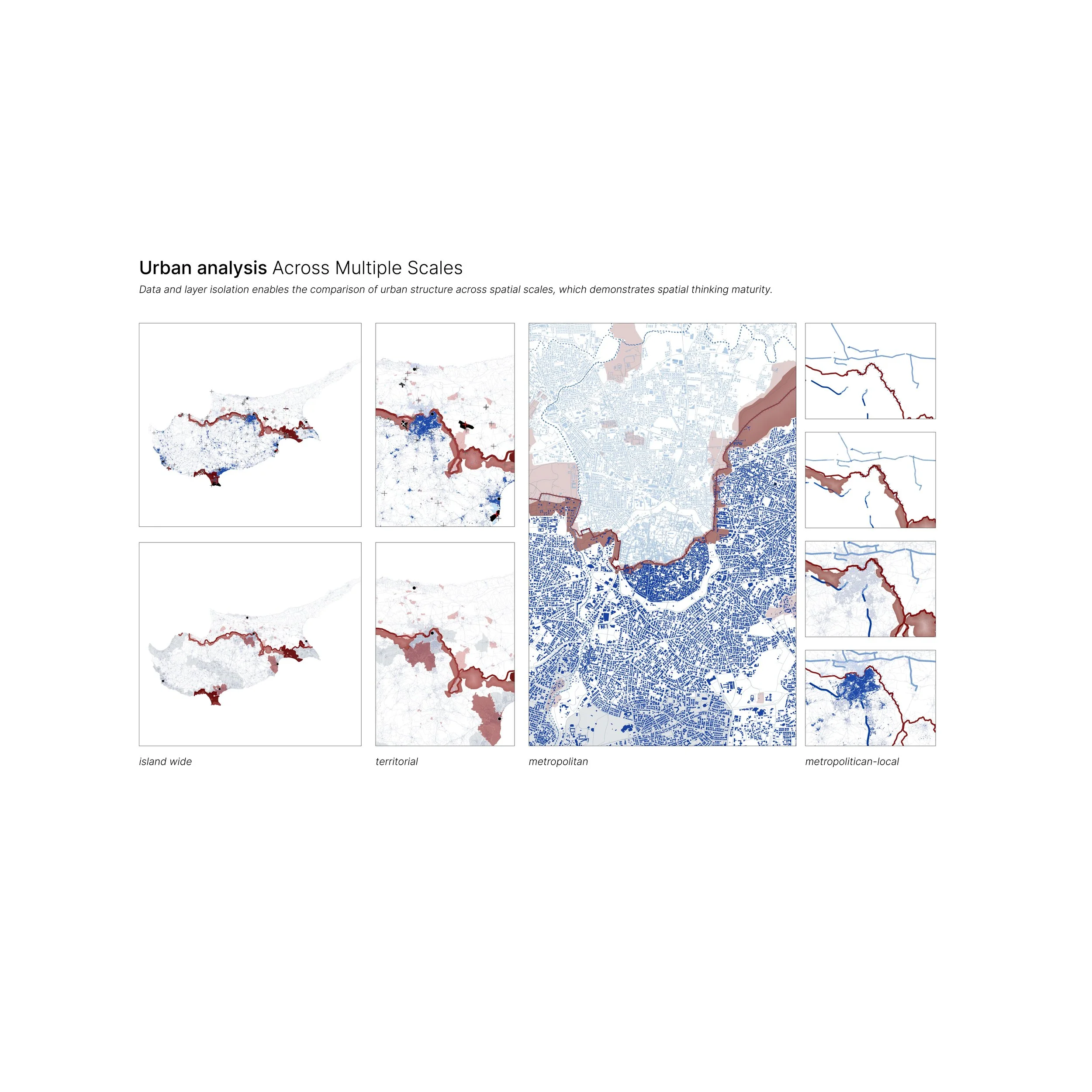
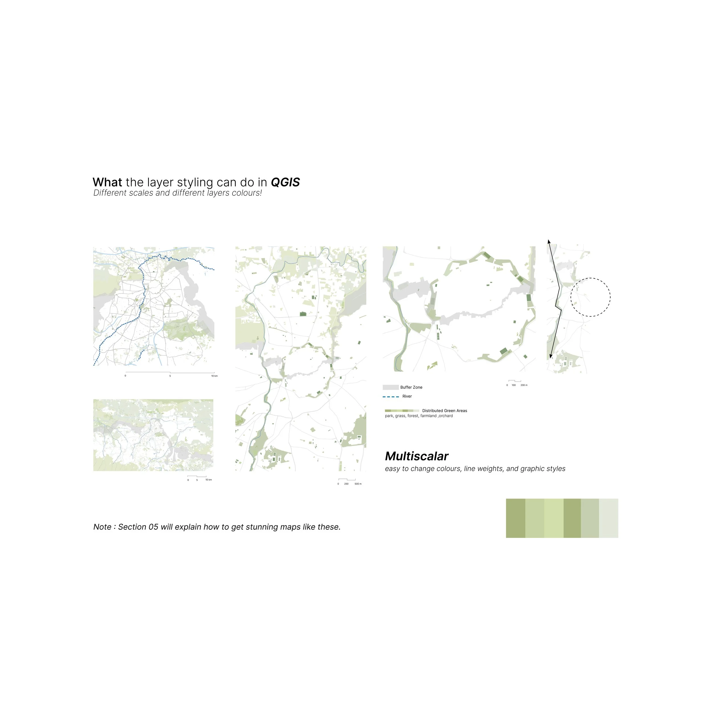
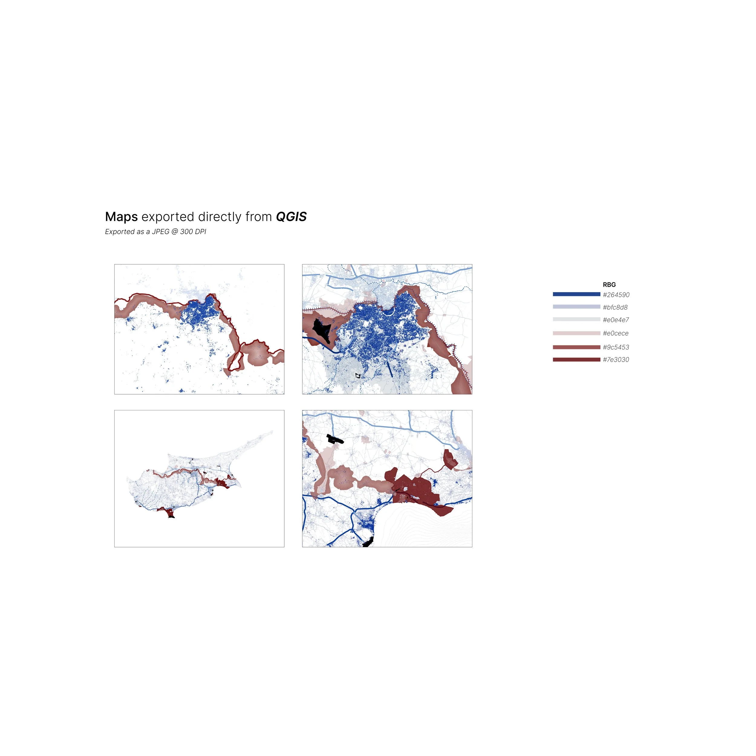
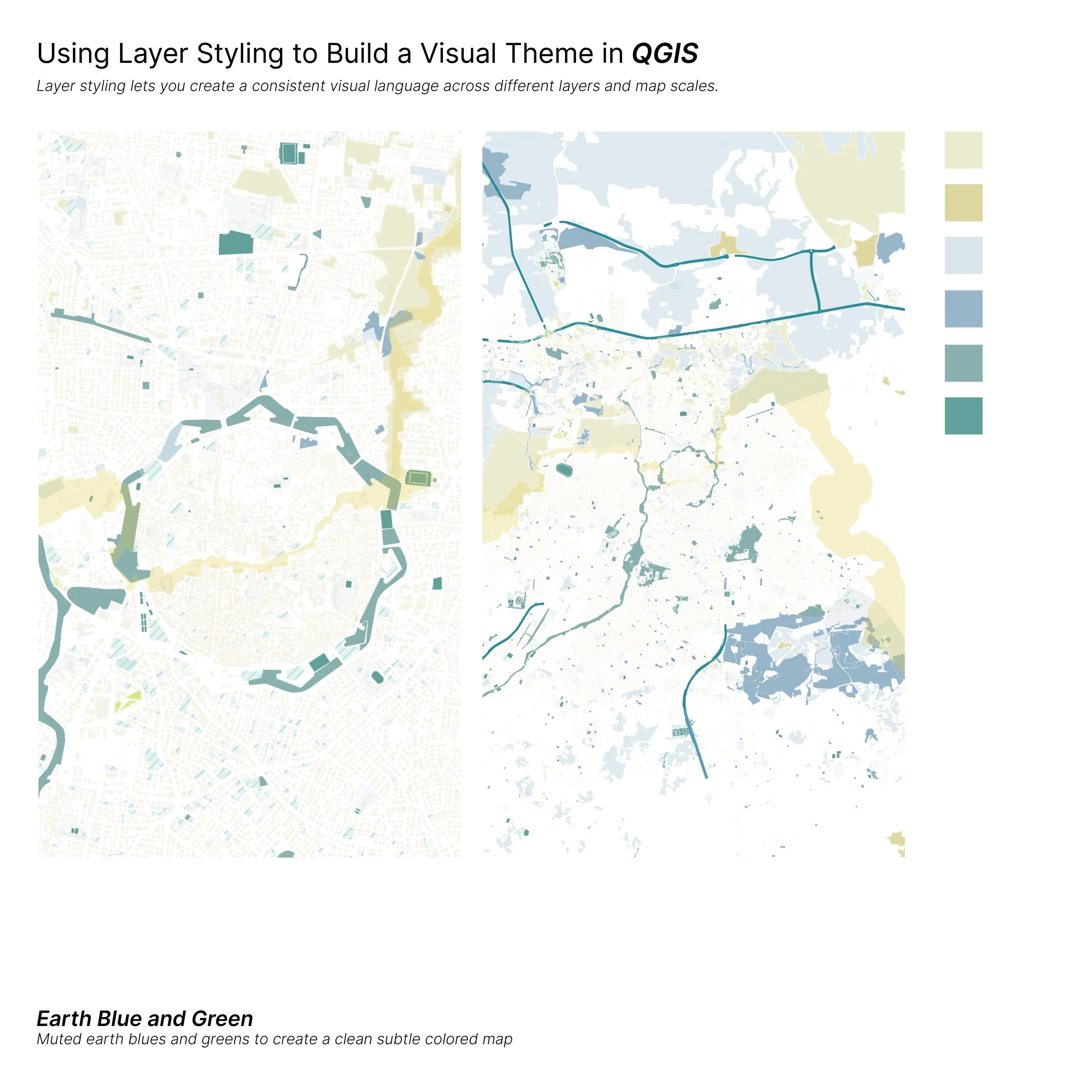
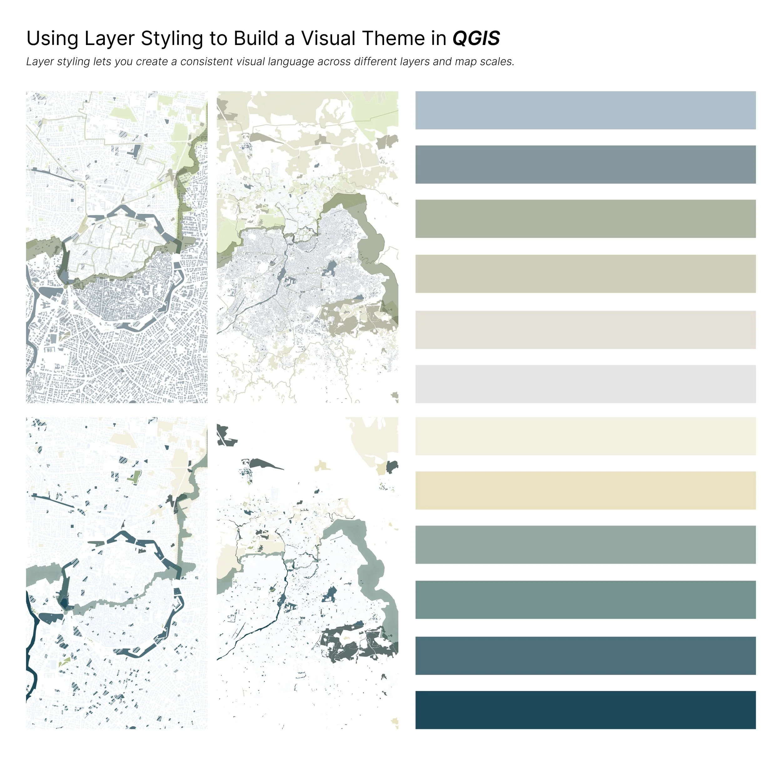
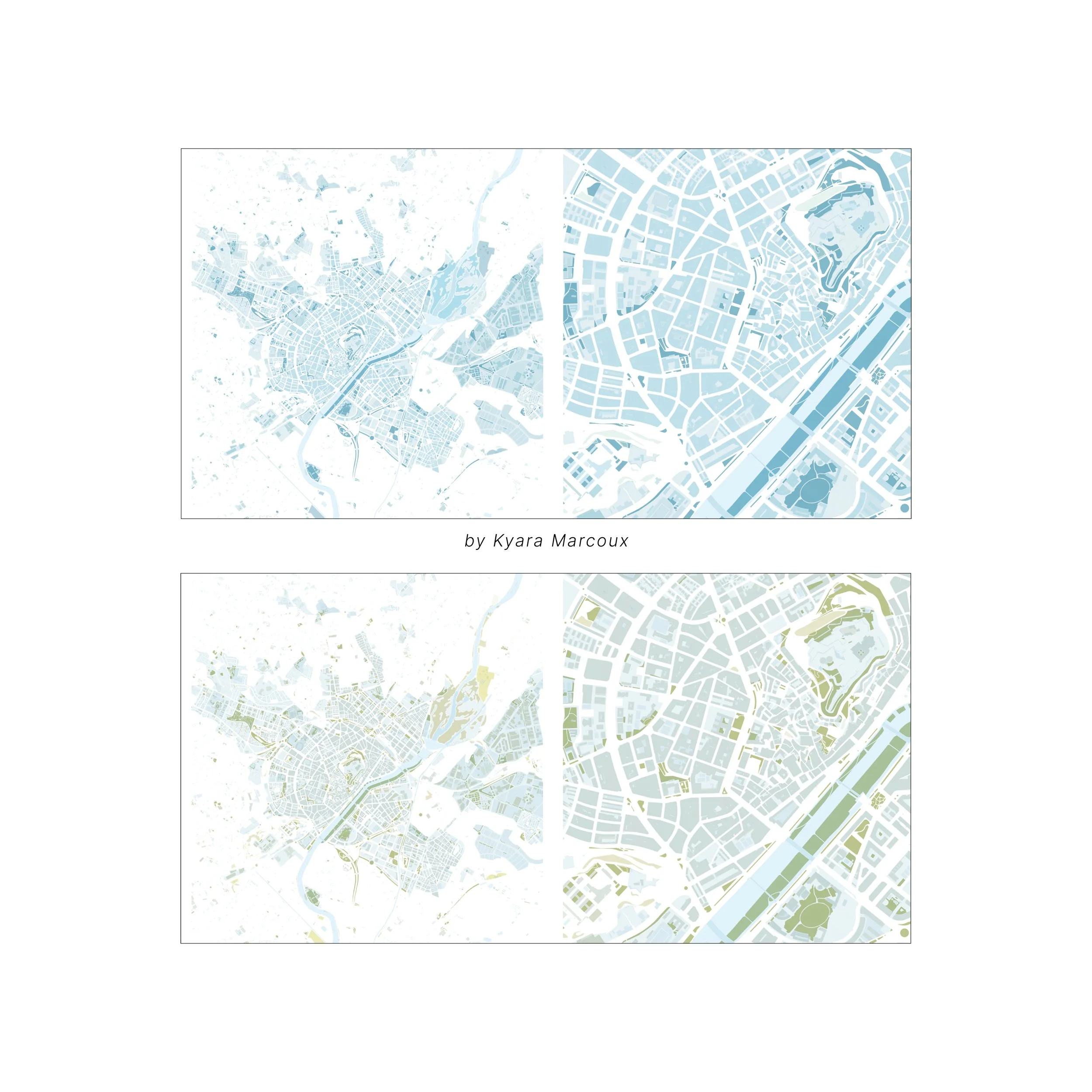
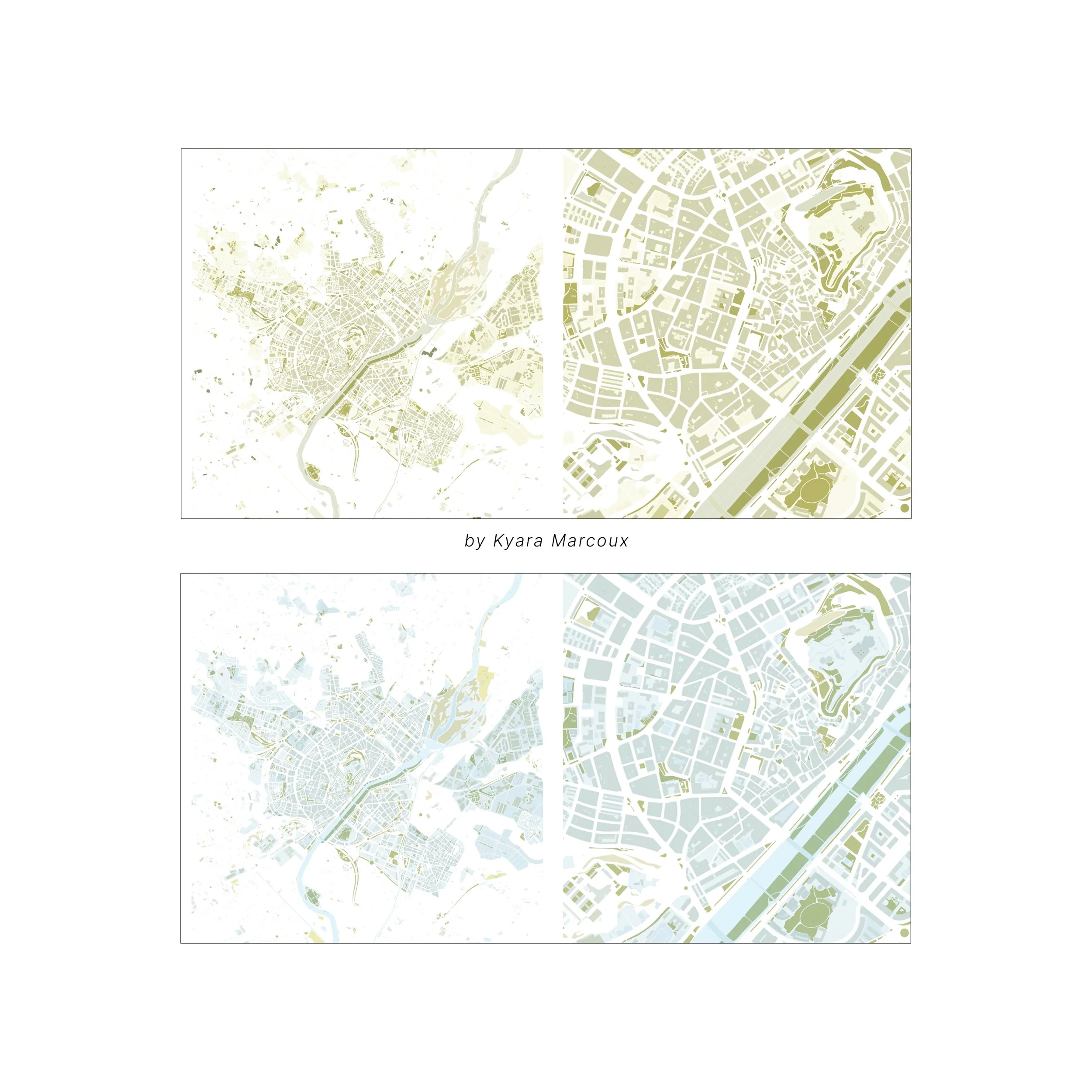
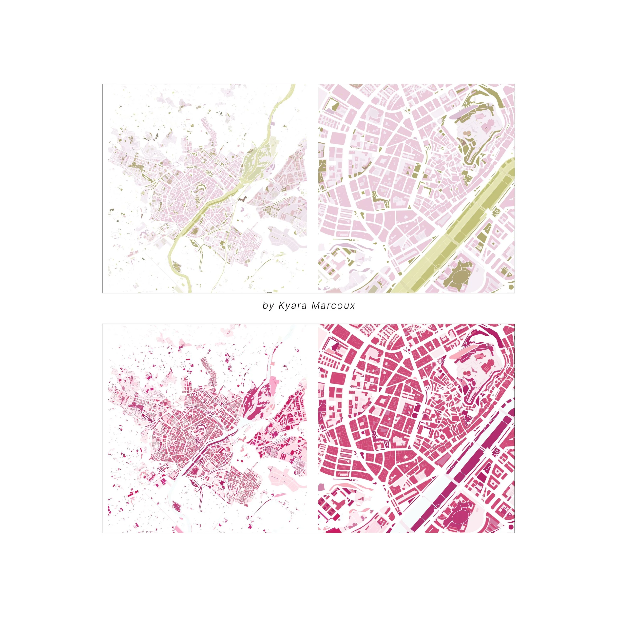
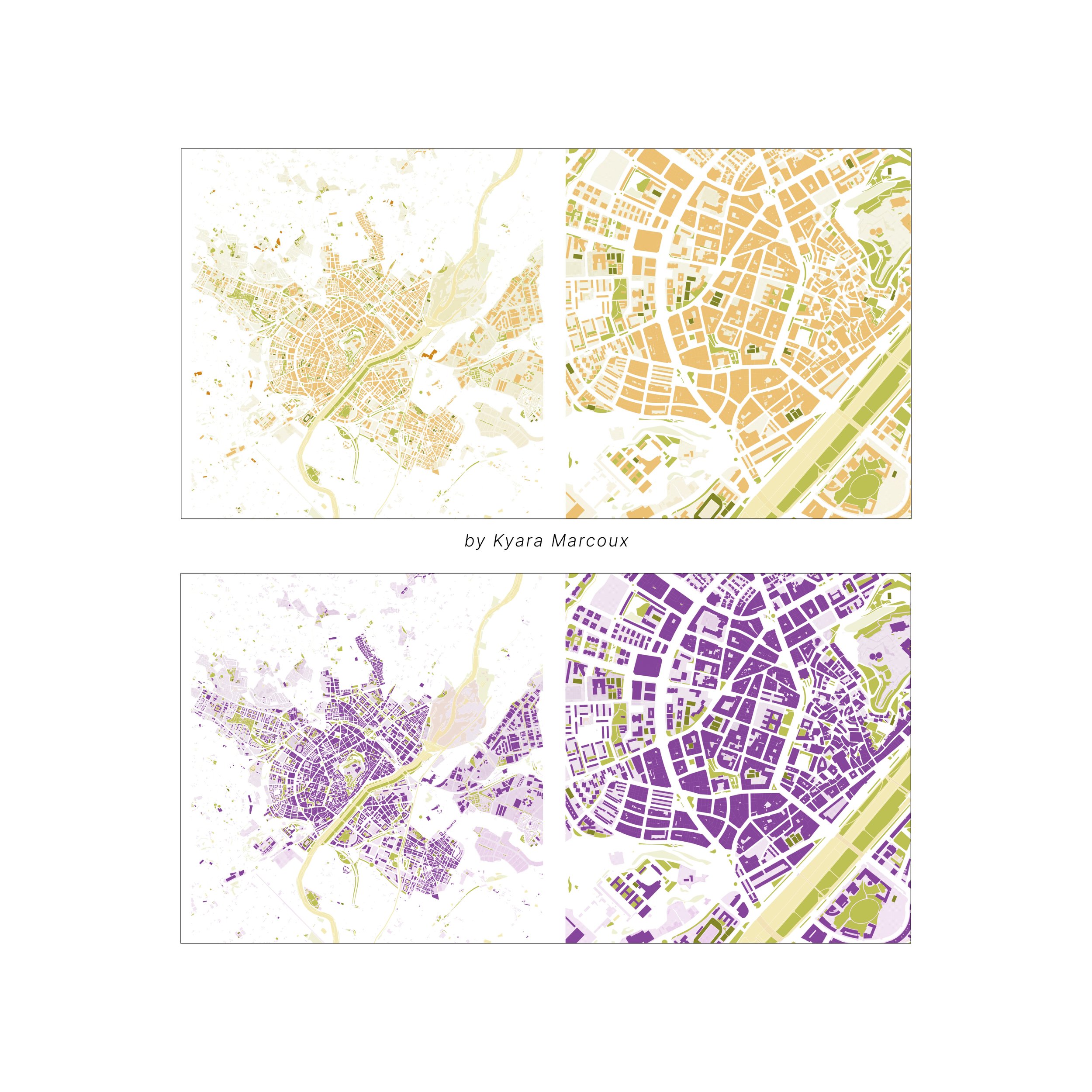
→ Understand how to create different map styles using the same spatial data
→ Improve the quality and consistency of your maps for studio projects, portfolios, and presentations
Who should use this Guide?
→ Anyone starting to learn QGIS
→ Architecture students
→ Urban design students
→ Landscape architecture students
→ Planning and design students
→ Creatives and professionals working with spatial data
→ Anyone looking to create cleaner, more organized, and more visually refined maps
FORMAT: Digital PDF — 38 pages
DELIVERY: Instant Download
SOFTWARE: QGIS + AI Agent by TerraLab
Note:
This guide won’t instantly make you a QGIS expert , but it will give you a strong foundation and help you build better skills with clarity and confidence.
An Instant PDF Download
QGIS GUIDE 03
Discover how AI can help you retrieve spatial data, generate and organize layers, and simplify repetitive mapping tasks, allowing you to spend less time navigating technical processes and more time focusing on site analysis, design, and visual communication.
QGIS AI Plug-in
Learn how to use AI in QGIS to make mapping, data organization, and layer styling easier, with a visual guide created specifically for architecture and urban design students.
Working with QGIS can sometimes feel complicated, especially when trying to find the right data, organize multiple layers, or figure out which tools to use.
This guide introduces an AI plug-in for QGIS that can help simplify some of these steps. Instead of spending so much time manually searching for data and creating layers, you can use simple prompts to help build your maps.
I also included some of my essential QGIS tools, mapping tips, and styling methods that I regularly use for site analysis, studio projects, and architectural presentations.
The goal is not to explain every feature in QGIS, but to share a few useful tools and methods that can make your workflow easier and help you create cleaner, more organized maps.
WHAT'S INSIDE?
The guide is divided into 3 main learning categories — INTRO, PLUGIN, TOOLBOX.
Introduction + a QGIS Guide 01 recap
The plug-in + some examples
Toolbox + essentials to know
Note: This is not a technical QGIS encyclopedia
It is a curated, visual workflow based on methods developed through academic studio experience and professional practice.
The goal is not to teach every tool in QGIS. It is to show you the tools and methods that are most useful for architecture, urban design, site analysis, and visual mapping.
Why download it?
→ Learn how to use an AI plug-in in QGIS to simplify your mapping workflow
→ Spend less time manually searching for data and creating layers
→ Learn how to organize and style your maps more efficiently
→ Discover useful QGIS tools that you might not know about
→ Understand how to create different map styles using the same spatial data
→ Improve the quality and consistency of your maps for studio projects, portfolios, and presentations
Who should use this Guide?
→ Anyone starting to learn QGIS
→ Architecture students
→ Urban design students
→ Landscape architecture students
→ Planning and design students
→ Creatives and professionals working with spatial data
→ Anyone looking to create cleaner, more organized, and more visually refined maps
FORMAT: Digital PDF — 38 pages
DELIVERY: Instant Download
SOFTWARE: QGIS + AI Agent by TerraLab
Note:
This guide won’t instantly make you a QGIS expert , but it will give you a strong foundation and help you build better skills with clarity and confidence.

 Image 1 of 4
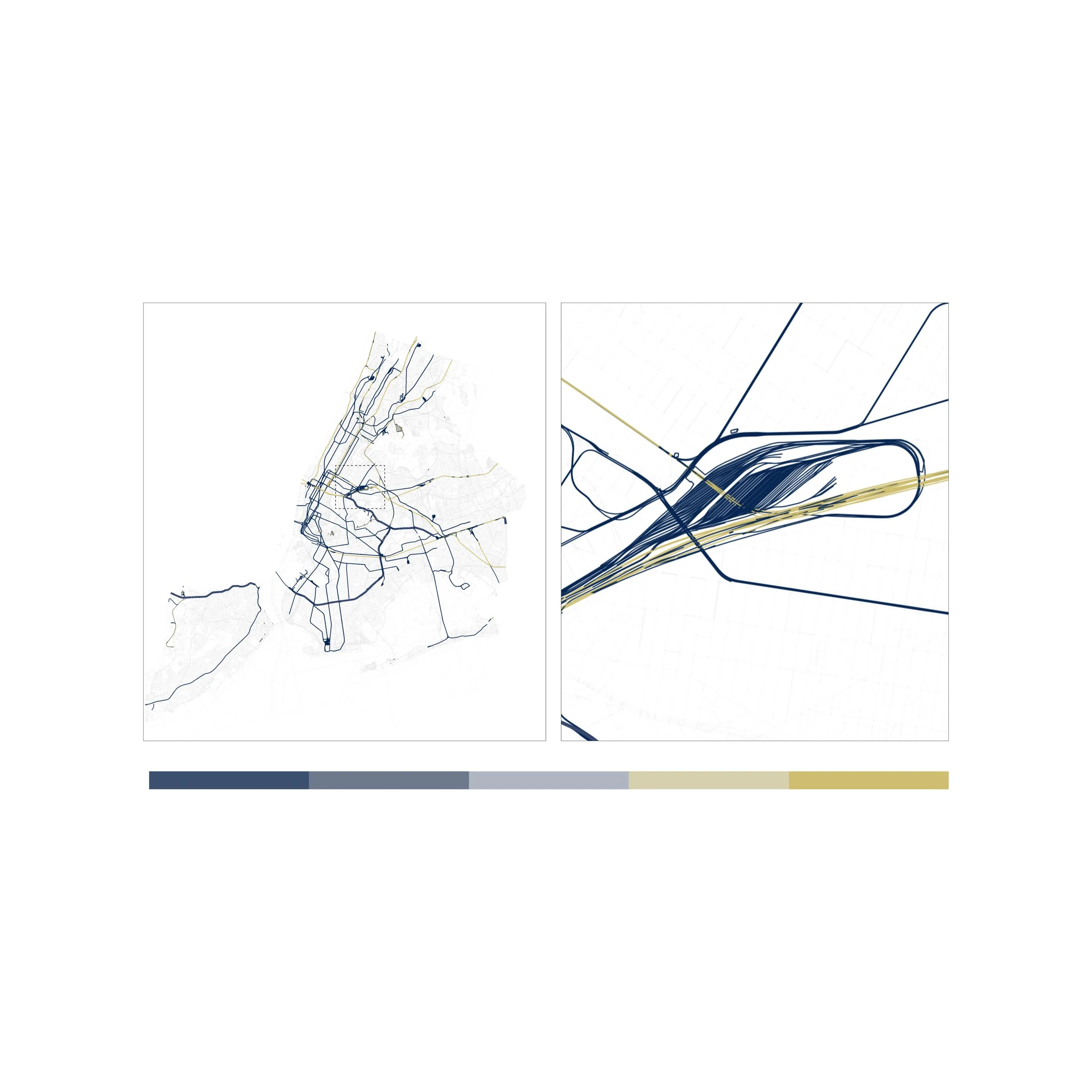 Image 2 of 4
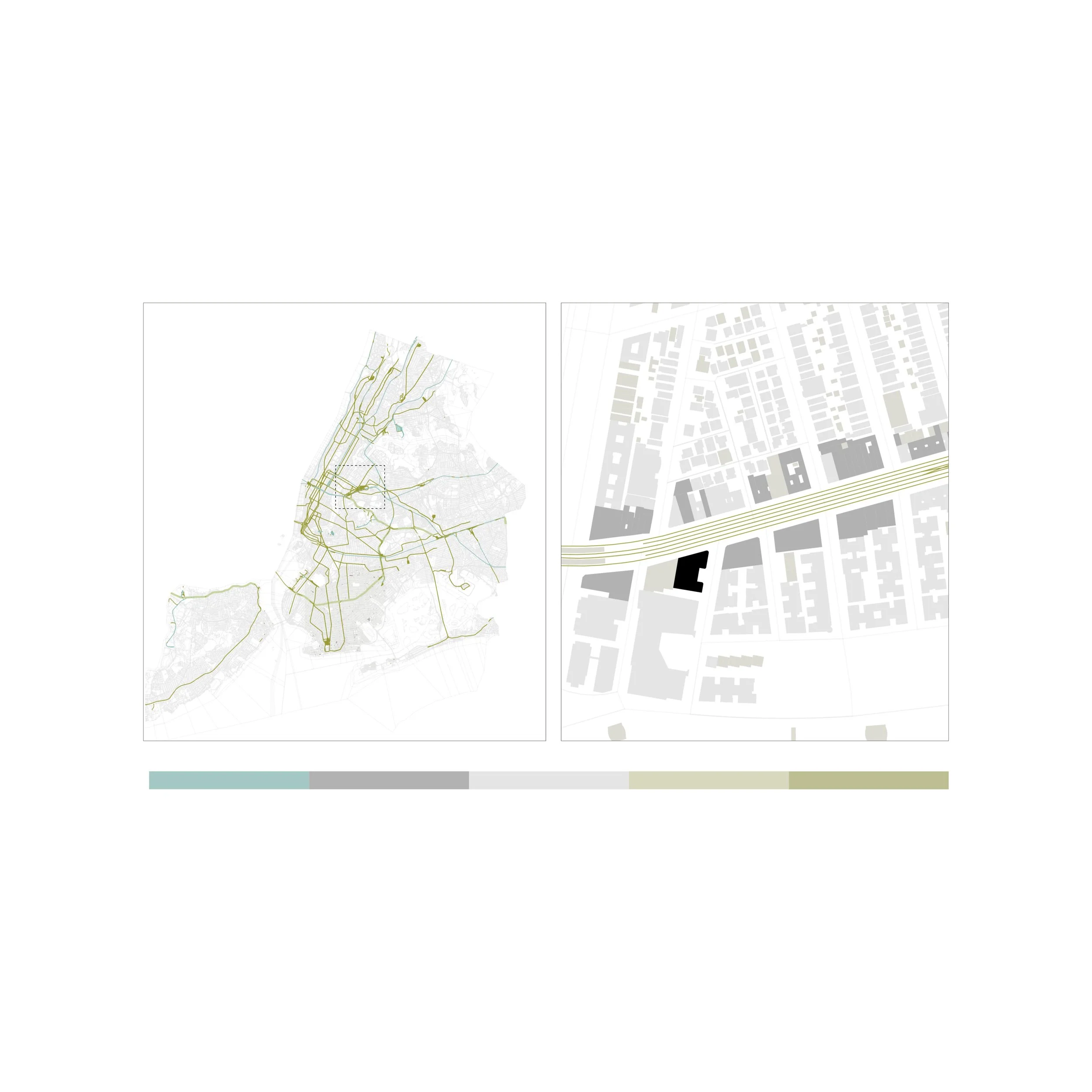 Image 3 of 4
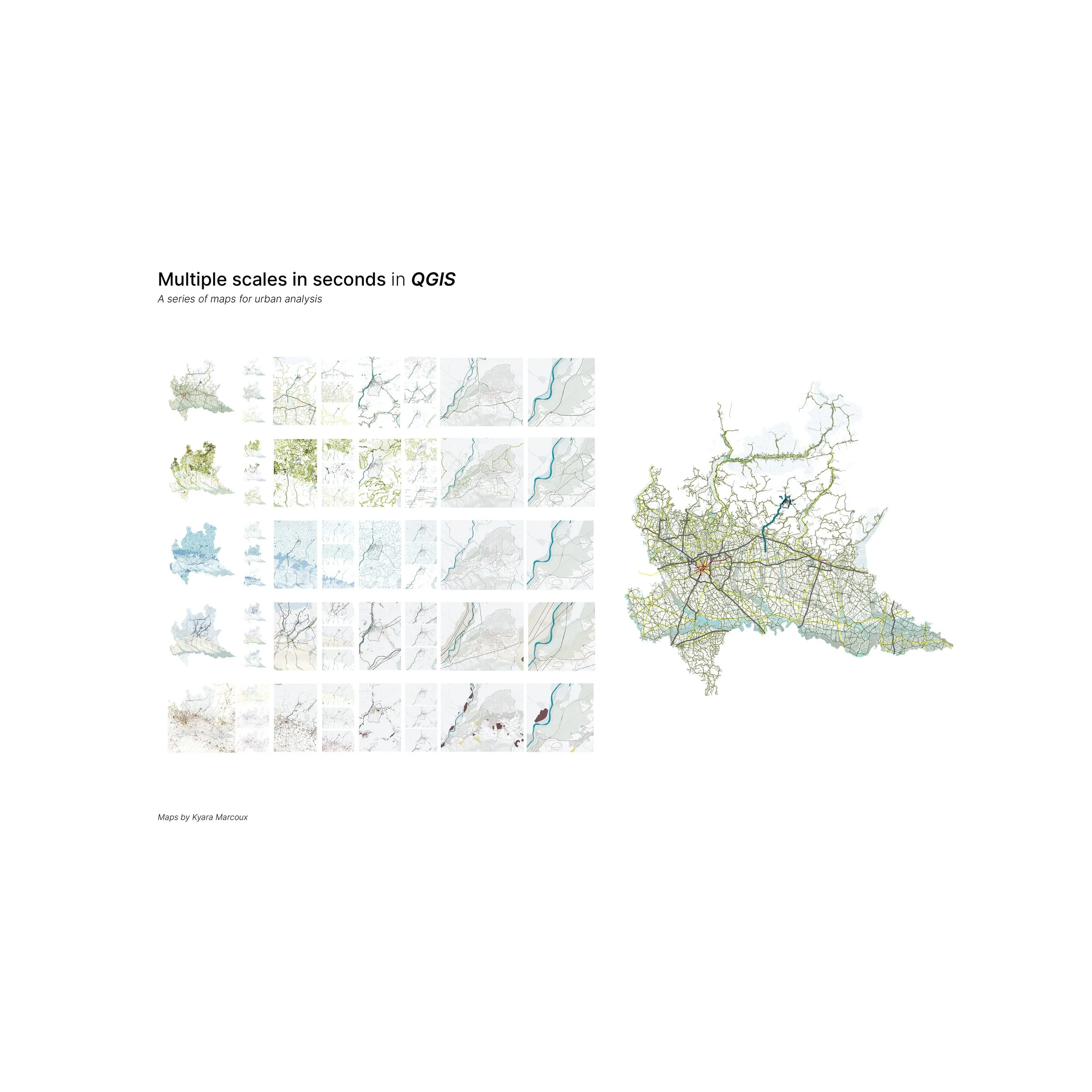 Image 4 of 4