An Instant PDF Download
QGIS GUIDE 02
Mapping, Plugins & Styling for Architecture + Urban Design
Learn mapping, data organization, and layer styling in QGIS with a clear, structured guide created specifically for architecture and urban design workflows.
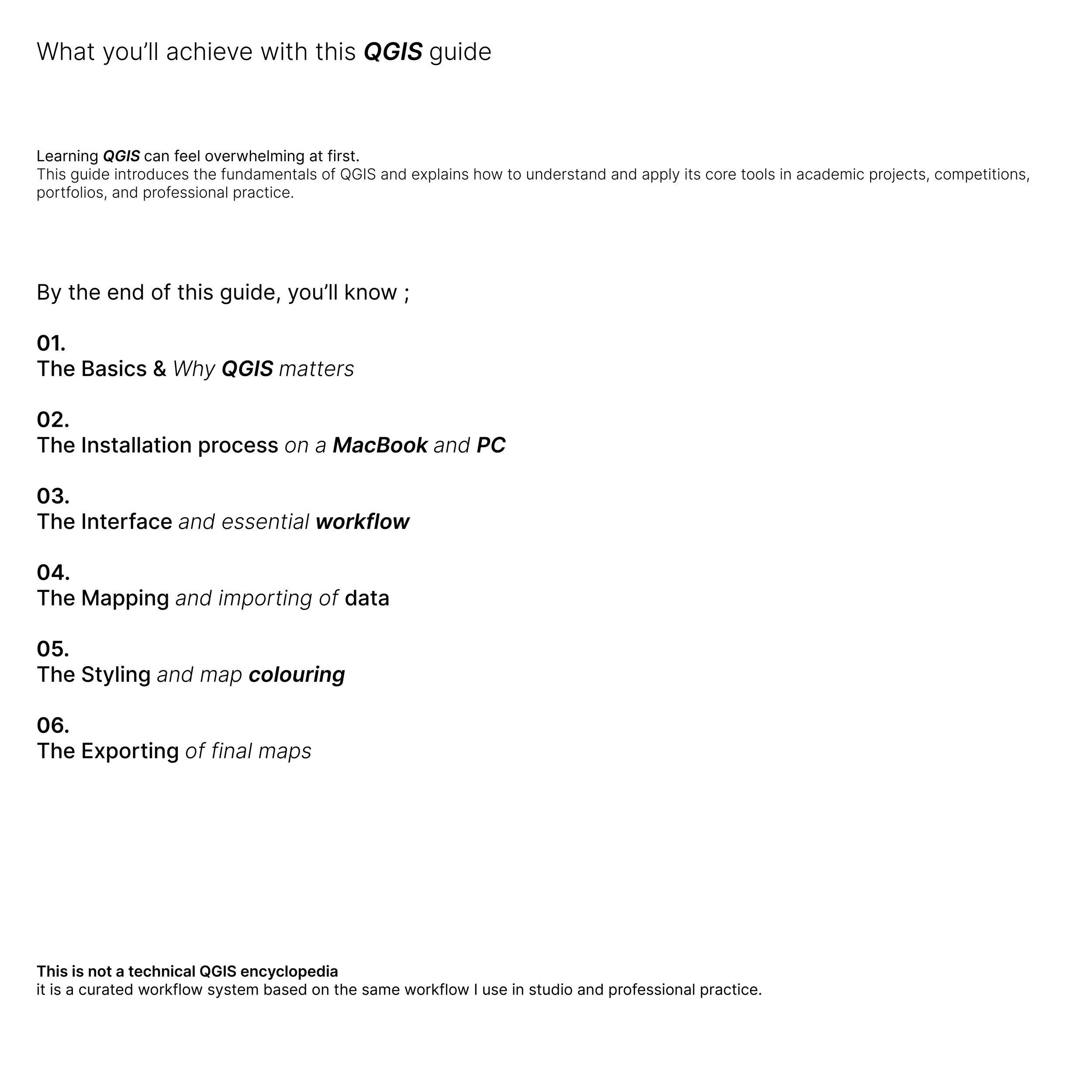
Learning QGIS can feel overwhelming at first. This 142-page visual guide breaks the process into a practical workflow, showing you the core tools, plugins, mapping techniques, and styling methods I use for site analysis, studio projects, portfolios, and professional work.
Rather than teaching every feature inside QGIS, this guide focuses on how to actually build a map from start to finish, from setting up your project and finding data to organizing layers, styling maps, creating layouts, and exporting polished final graphics.
The guide is divided into 4 main learning categories — INTRO, BASE, LAYERS, and STYLING — and covers the following main sections:
Introduction + a QGIS Guide 01 recap
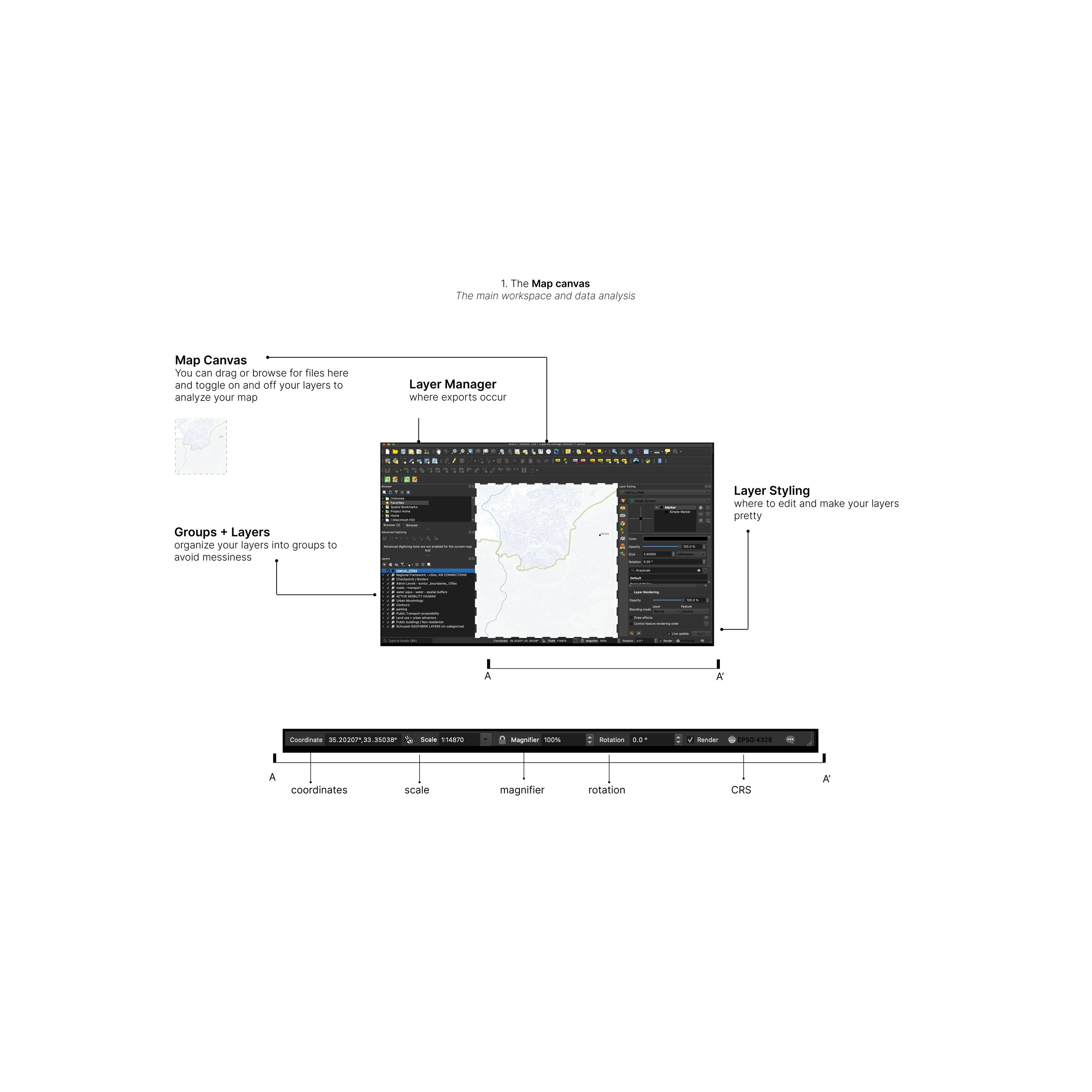
Workspace + the QGIS mapping canvas
Data + Plugins + importing data and installing plugins in QGIS
Base Maps + importing high-quality base maps in QGIS
Project Location + base map integration
Project CRS + selecting the correct CRS in QGIS
Topography + contours
Data Acquisition + analysis
ArcGIS REST Server + connections
Layers + naming tips
Labels + using labels on maps
Attribute Tables + organizing and reading data
Polygons + drawing data
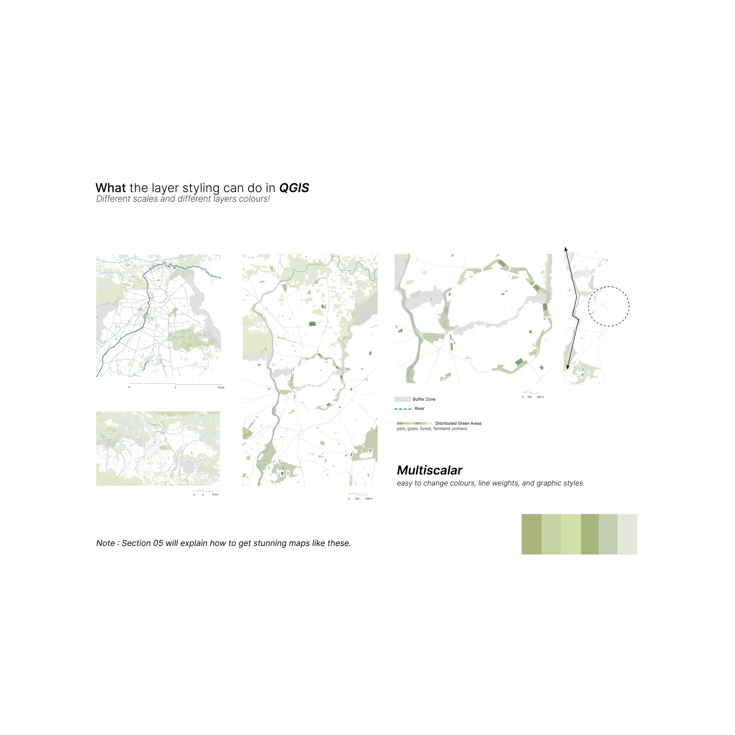
Styling + colour codes
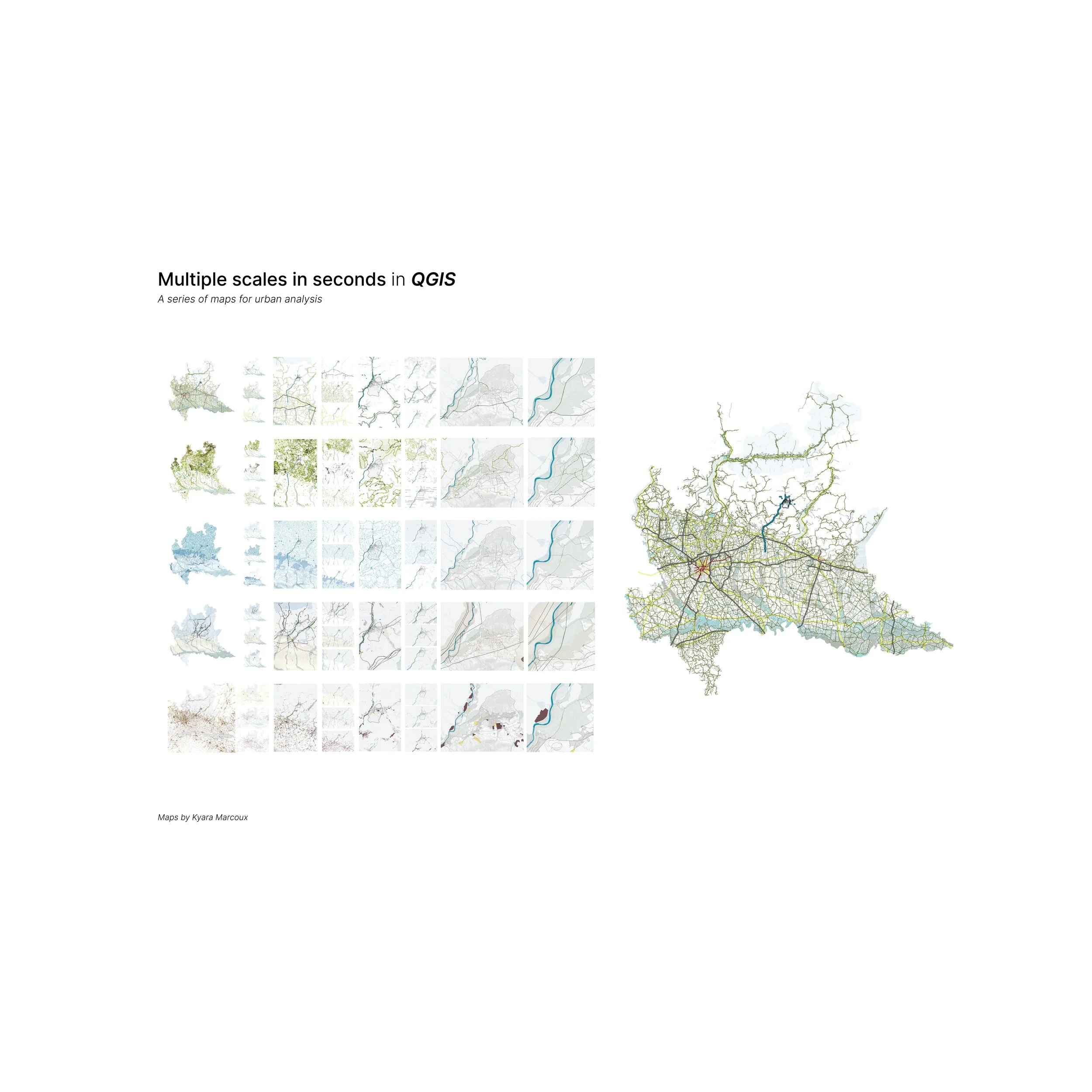
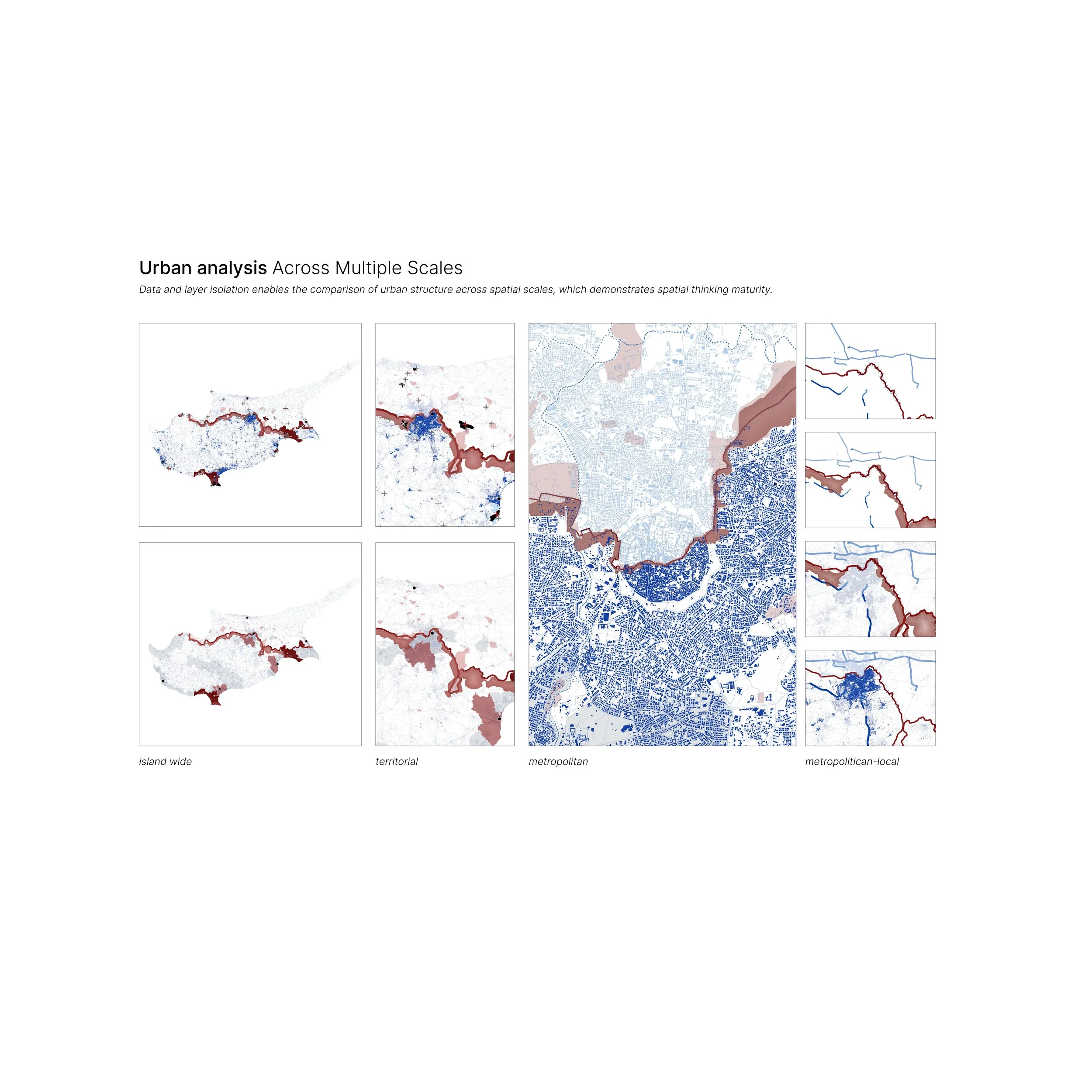
Scales + multi-scale analysis
Print Layouts + page sizes
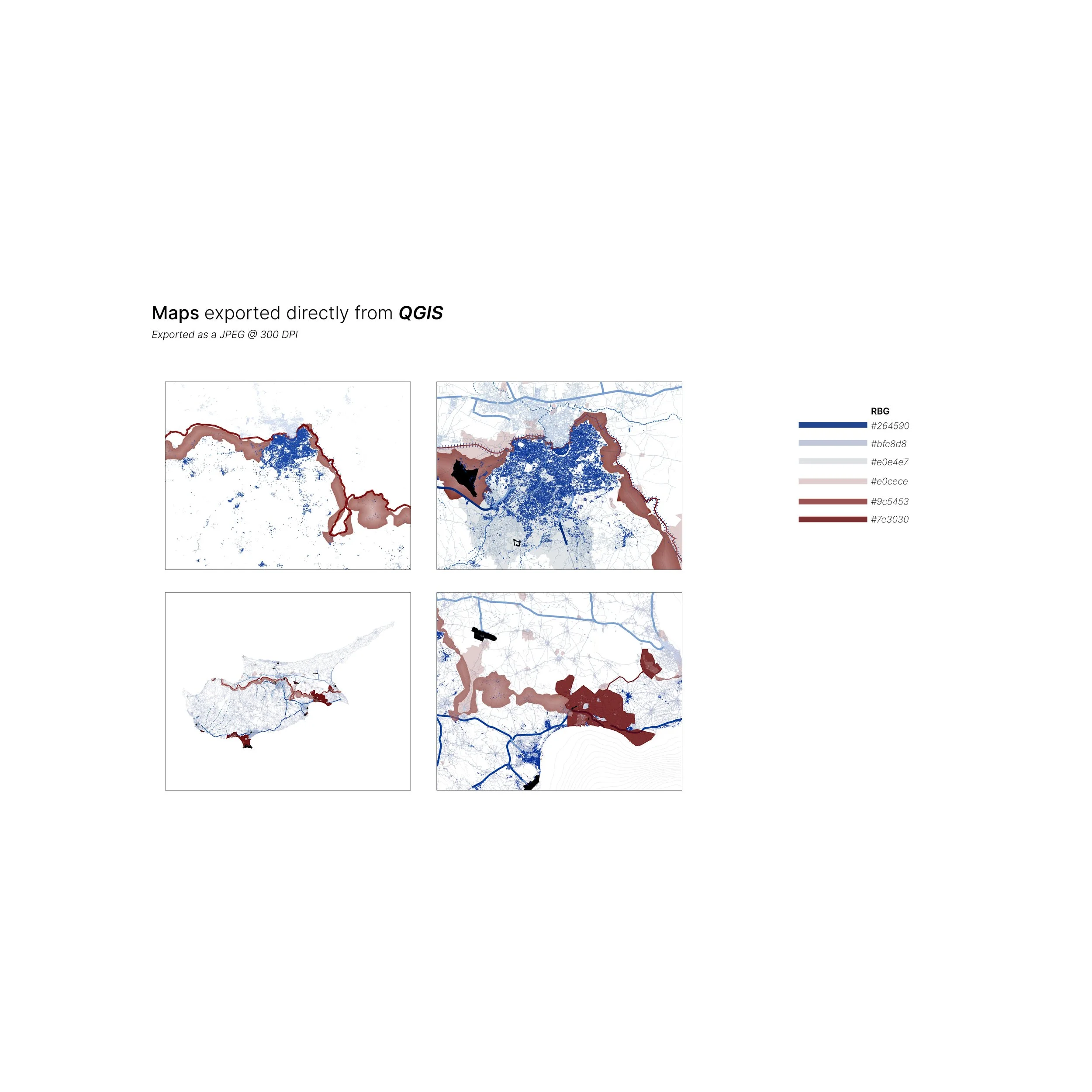
Export + export settings and page sizes
Toolbox + essentials to know
Note: This is not a technical QGIS encyclopedia
It is a curated, visual workflow based on methods developed through academic studio experience and professional practice.
The goal is not to teach every tool in QGIS. It is to show you the tools and methods that are most useful for architecture, urban design, site analysis, and visual mapping.
Why download it?
→ Learn the core QGIS tools and workflow strategies used in real projects
→ Understand how to move from raw spatial data to a finished map
→ Build a strong foundation for school assignments, studio work, portfolios, and internships
→ Learn better layer organization and data-management habits from the start
→ Improve the clarity and visual consistency of your maps
→ Create presentation-ready graphics without getting lost in overly technical GIS workflows
What it includes:
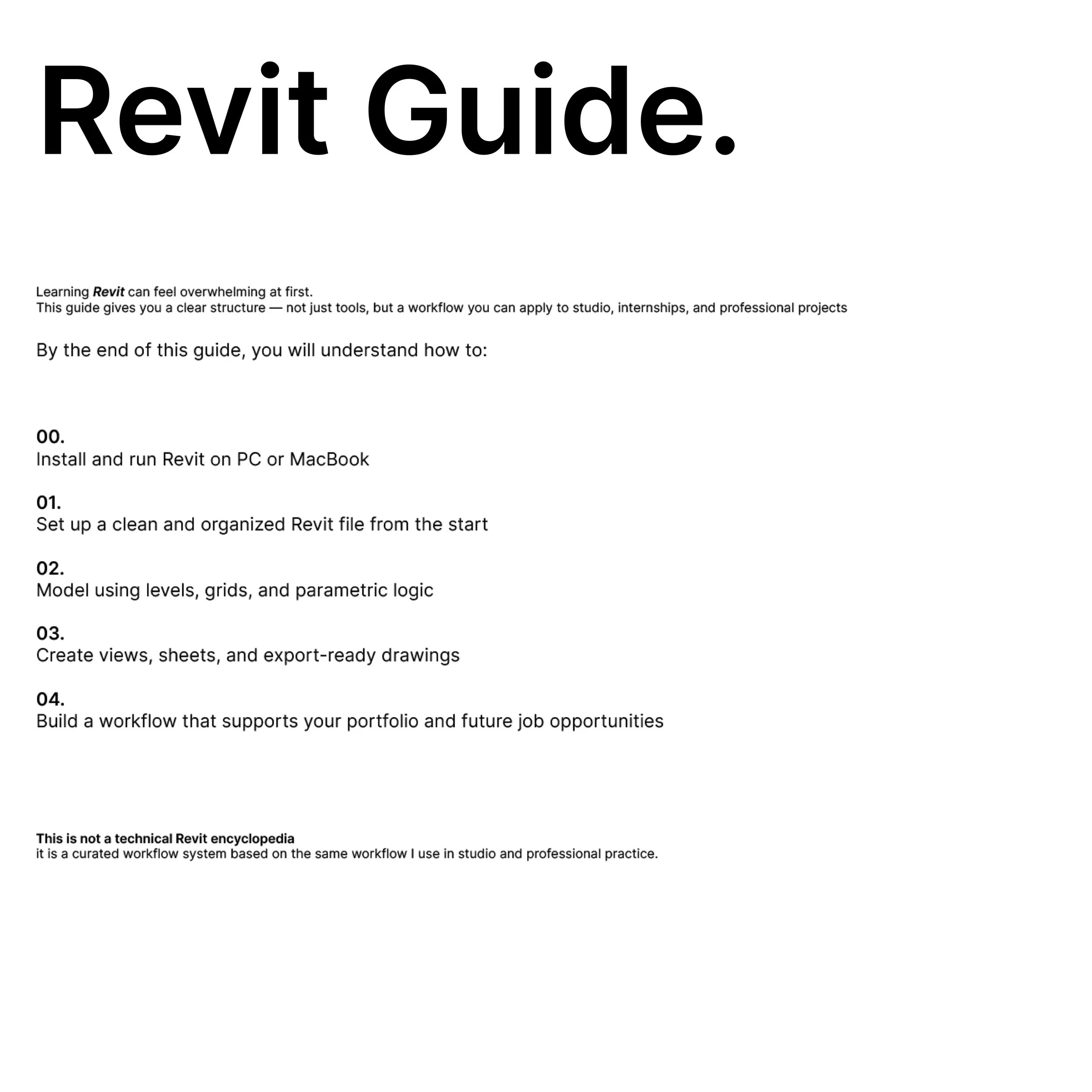
→ 142 pages of visual guidance
→ Step-by-step workflows
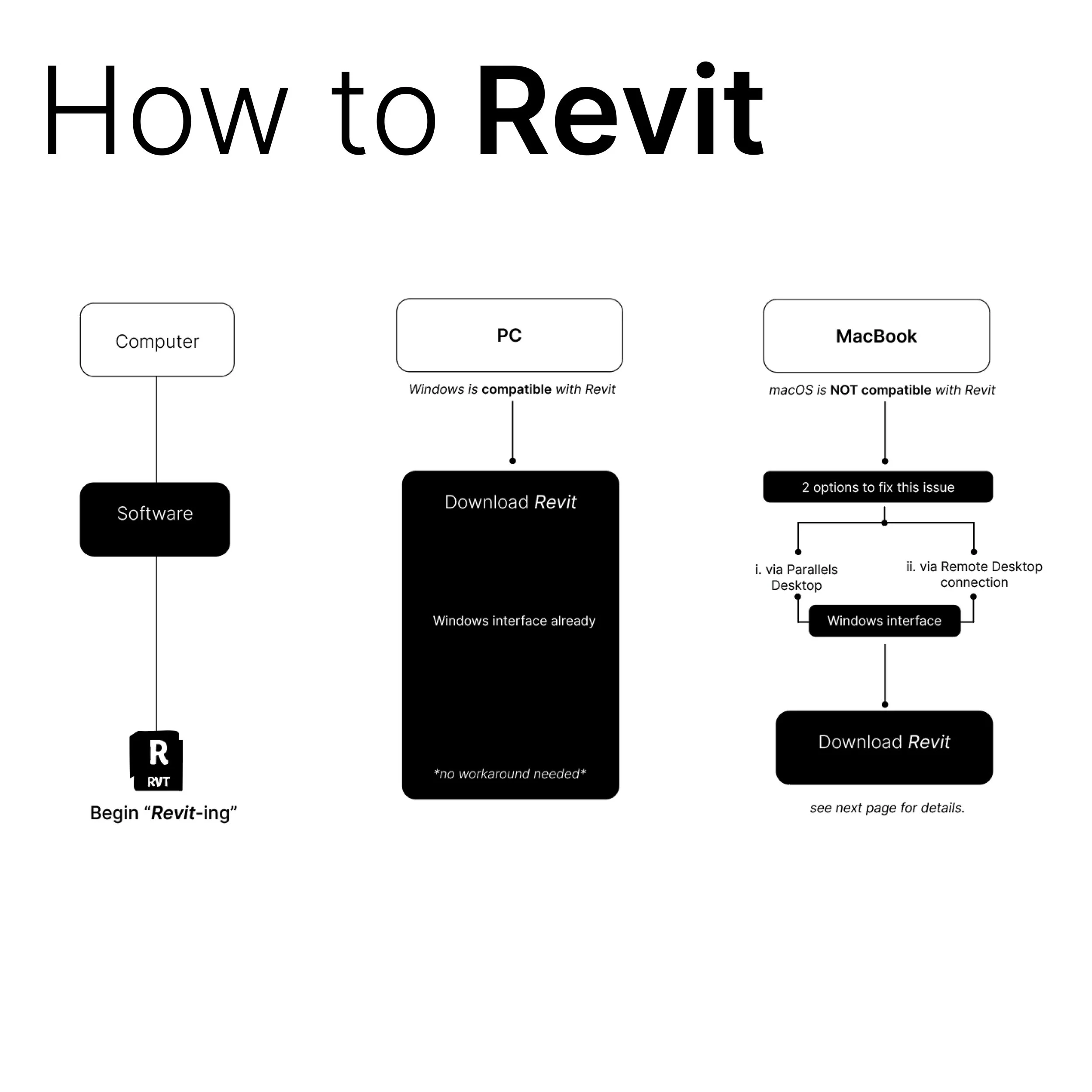
→ Screenshots and annotated QGIS interfaces
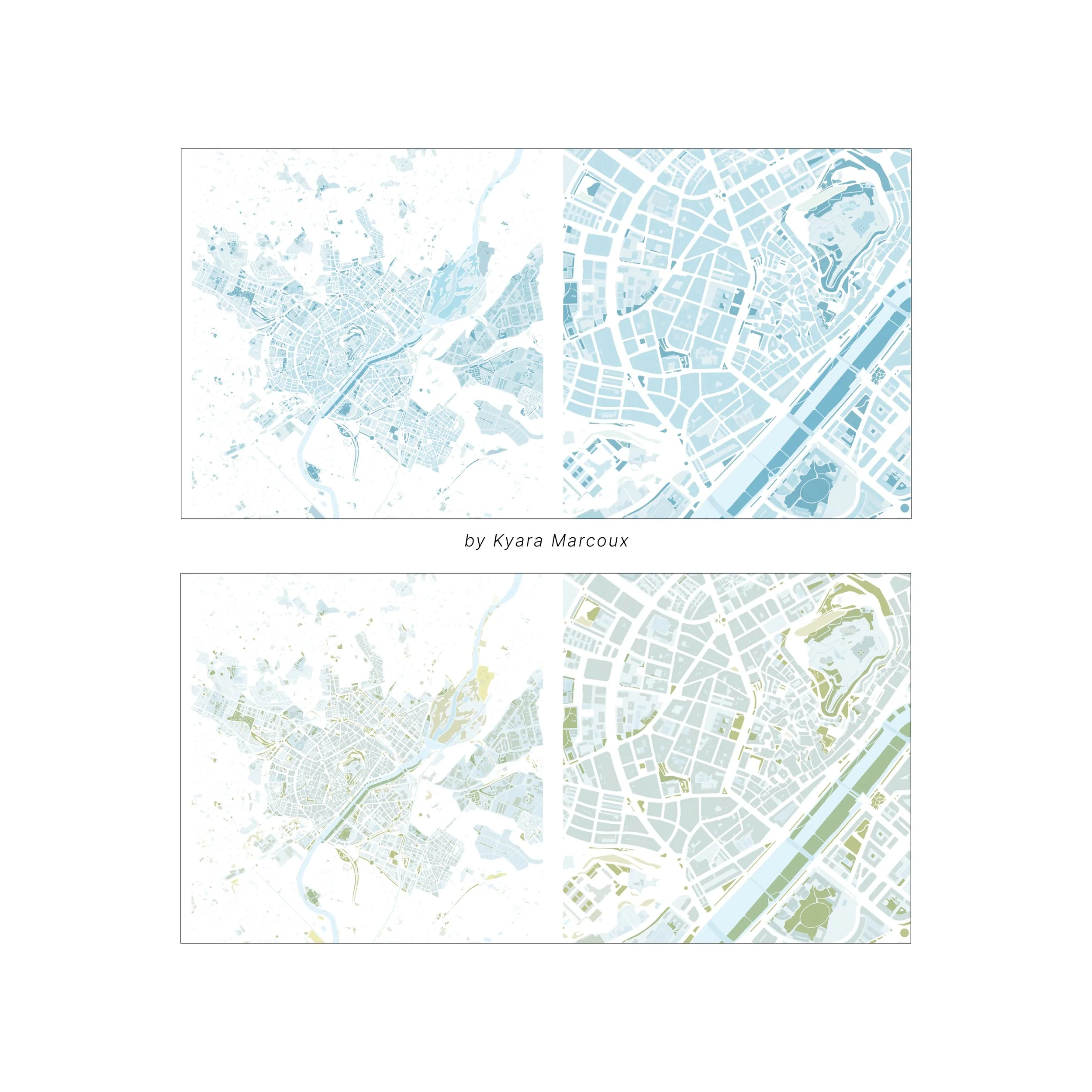
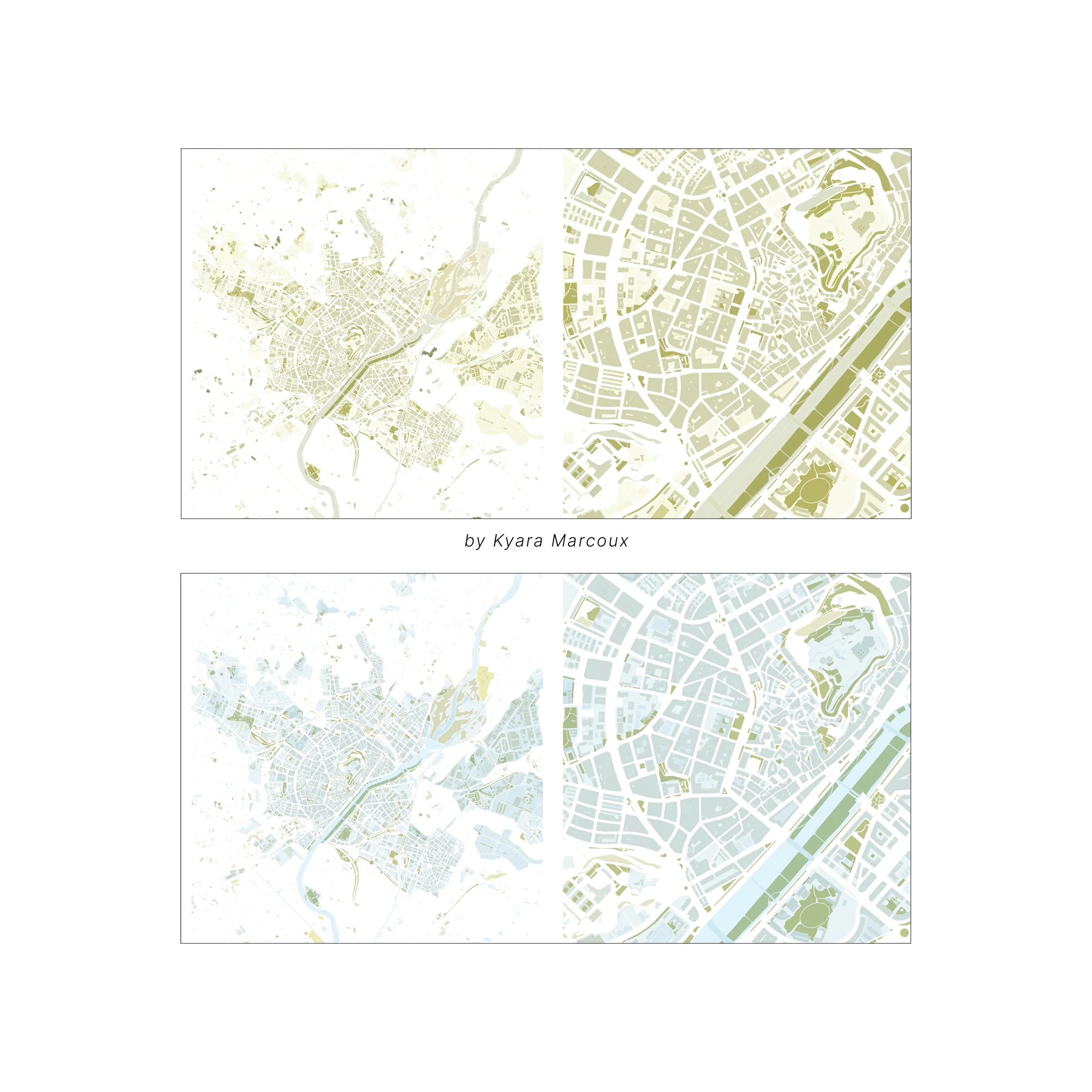
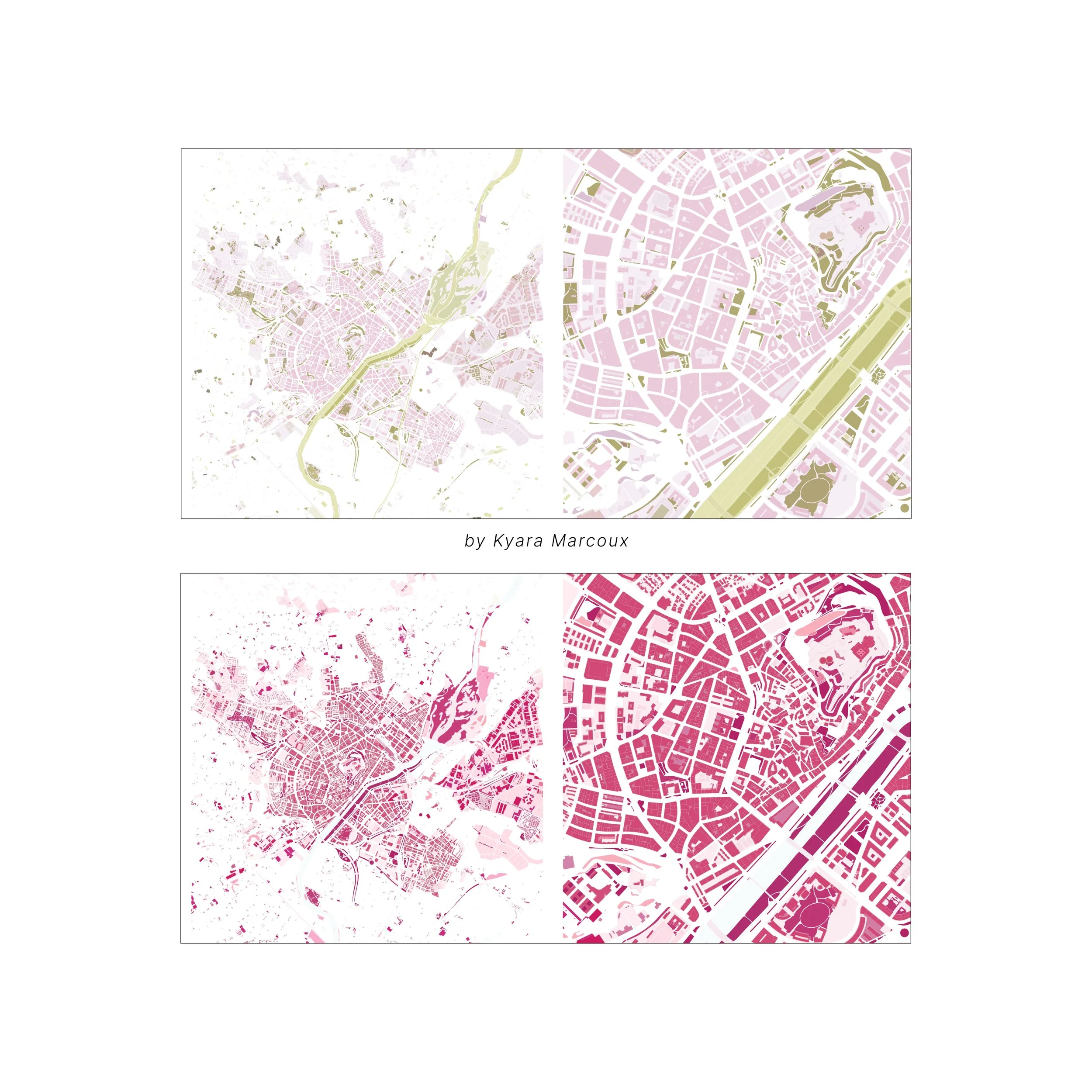
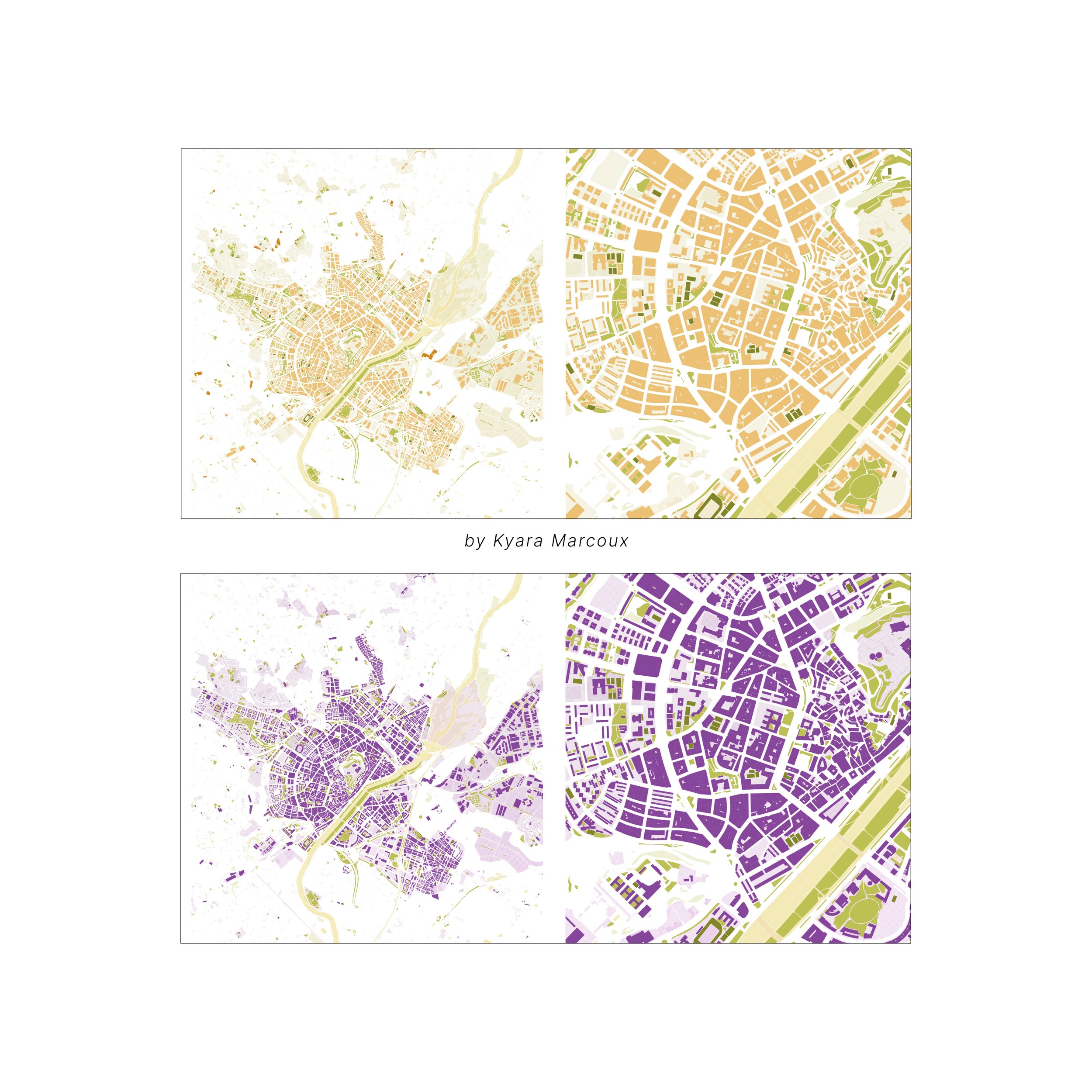
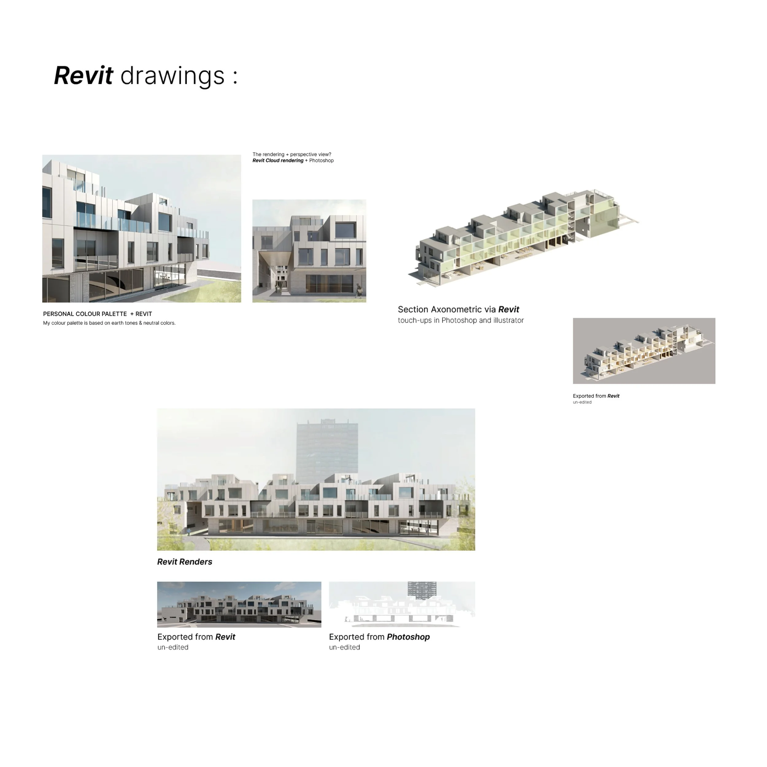
→ Mapping examples
→ Plugin and data-source recommendations
→ Terrain and contour workflows
→ Layer-management strategies
→ Label and scale guidelines
→ Ready-to-use colour systems
→ Print-layout guidance
→ Export recommendations
→ Workflow tips and common mistakes to avoid
Who should use this Guide?
→ Anyone starting to learn QGIS
→ Architecture students
→ Urban design students
→ Landscape architecture students
→ Planning and design students
→ Creatives and professionals working with spatial data
→ Anyone looking to create cleaner, more organized, and more visually refined maps
Why This Guide?
→ Proven Workflow — Practical methods refined through academic studio and professional experience
→ Architecture + Design Focused : Learn QGIS through workflows that directly support site analysis, urban mapping, portfolios, and presentations
→ Clean, Designer-Friendly Approach : Structured, visual, and easy to follow so you can focus on mapping instead of navigating dense technical documentation
→ Practical Learning : Focused on real use examples rather than isolated tools, helping you understand when and why to use each workflow
→ Reusable Reference : Designed to stay beside you while you work, so you can return to specific tools, settings, colour systems, and workflows whenever you need them
Note:
This guide won’t instantly make you a QGIS expert , but it will give you a strong foundation and help you build better skills with clarity and confidence.
An Instant PDF Download
QGIS GUIDE 02
Mapping, Plugins & Styling for Architecture + Urban Design
Learn mapping, data organization, and layer styling in QGIS with a clear, structured guide created specifically for architecture and urban design workflows.
Learning QGIS can feel overwhelming at first. This 142-page visual guide breaks the process into a practical workflow, showing you the core tools, plugins, mapping techniques, and styling methods I use for site analysis, studio projects, portfolios, and professional work.
Rather than teaching every feature inside QGIS, this guide focuses on how to actually build a map from start to finish, from setting up your project and finding data to organizing layers, styling maps, creating layouts, and exporting polished final graphics.
The guide is divided into 4 main learning categories — INTRO, BASE, LAYERS, and STYLING — and covers the following main sections:
Introduction + a QGIS Guide 01 recap
Workspace + the QGIS mapping canvas
Data + Plugins + importing data and installing plugins in QGIS
Base Maps + importing high-quality base maps in QGIS
Project Location + base map integration
Project CRS + selecting the correct CRS in QGIS
Topography + contours
Data Acquisition + analysis
ArcGIS REST Server + connections
Layers + naming tips
Labels + using labels on maps
Attribute Tables + organizing and reading data
Polygons + drawing data
Styling + colour codes
Scales + multi-scale analysis
Print Layouts + page sizes
Export + export settings and page sizes
Toolbox + essentials to know
Note: This is not a technical QGIS encyclopedia
It is a curated, visual workflow based on methods developed through academic studio experience and professional practice.
The goal is not to teach every tool in QGIS. It is to show you the tools and methods that are most useful for architecture, urban design, site analysis, and visual mapping.
Why download it?
→ Learn the core QGIS tools and workflow strategies used in real projects
→ Understand how to move from raw spatial data to a finished map
→ Build a strong foundation for school assignments, studio work, portfolios, and internships
→ Learn better layer organization and data-management habits from the start
→ Improve the clarity and visual consistency of your maps
→ Create presentation-ready graphics without getting lost in overly technical GIS workflows
What it includes:
→ 142 pages of visual guidance
→ Step-by-step workflows
→ Screenshots and annotated QGIS interfaces
→ Mapping examples
→ Plugin and data-source recommendations
→ Terrain and contour workflows
→ Layer-management strategies
→ Label and scale guidelines
→ Ready-to-use colour systems
→ Print-layout guidance
→ Export recommendations
→ Workflow tips and common mistakes to avoid
Who should use this Guide?
→ Anyone starting to learn QGIS
→ Architecture students
→ Urban design students
→ Landscape architecture students
→ Planning and design students
→ Creatives and professionals working with spatial data
→ Anyone looking to create cleaner, more organized, and more visually refined maps
Why This Guide?
→ Proven Workflow — Practical methods refined through academic studio and professional experience
→ Architecture + Design Focused : Learn QGIS through workflows that directly support site analysis, urban mapping, portfolios, and presentations
→ Clean, Designer-Friendly Approach : Structured, visual, and easy to follow so you can focus on mapping instead of navigating dense technical documentation
→ Practical Learning : Focused on real use examples rather than isolated tools, helping you understand when and why to use each workflow
→ Reusable Reference : Designed to stay beside you while you work, so you can return to specific tools, settings, colour systems, and workflows whenever you need them
Note:
This guide won’t instantly make you a QGIS expert , but it will give you a strong foundation and help you build better skills with clarity and confidence.

 Image 1 of 7
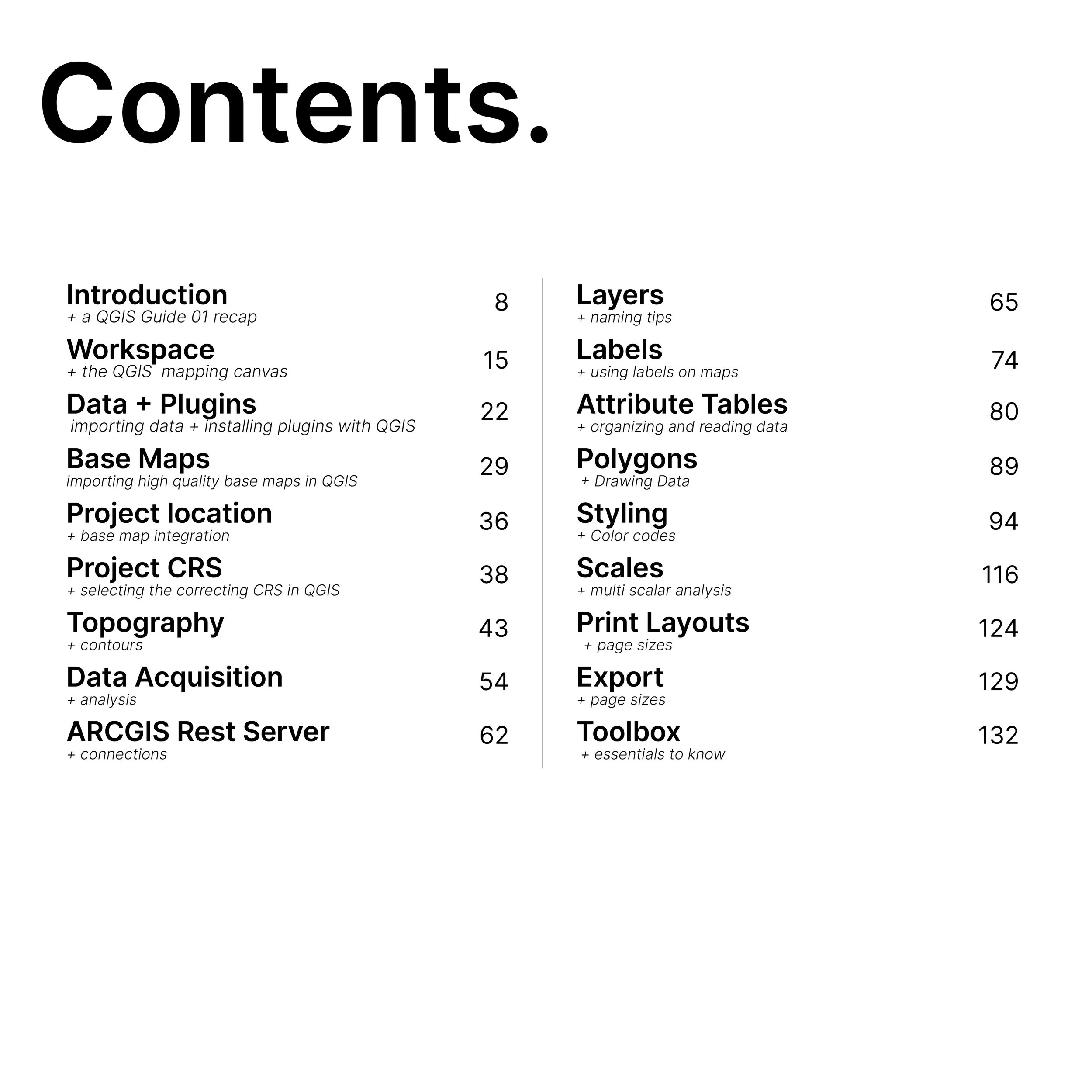 Image 2 of 7
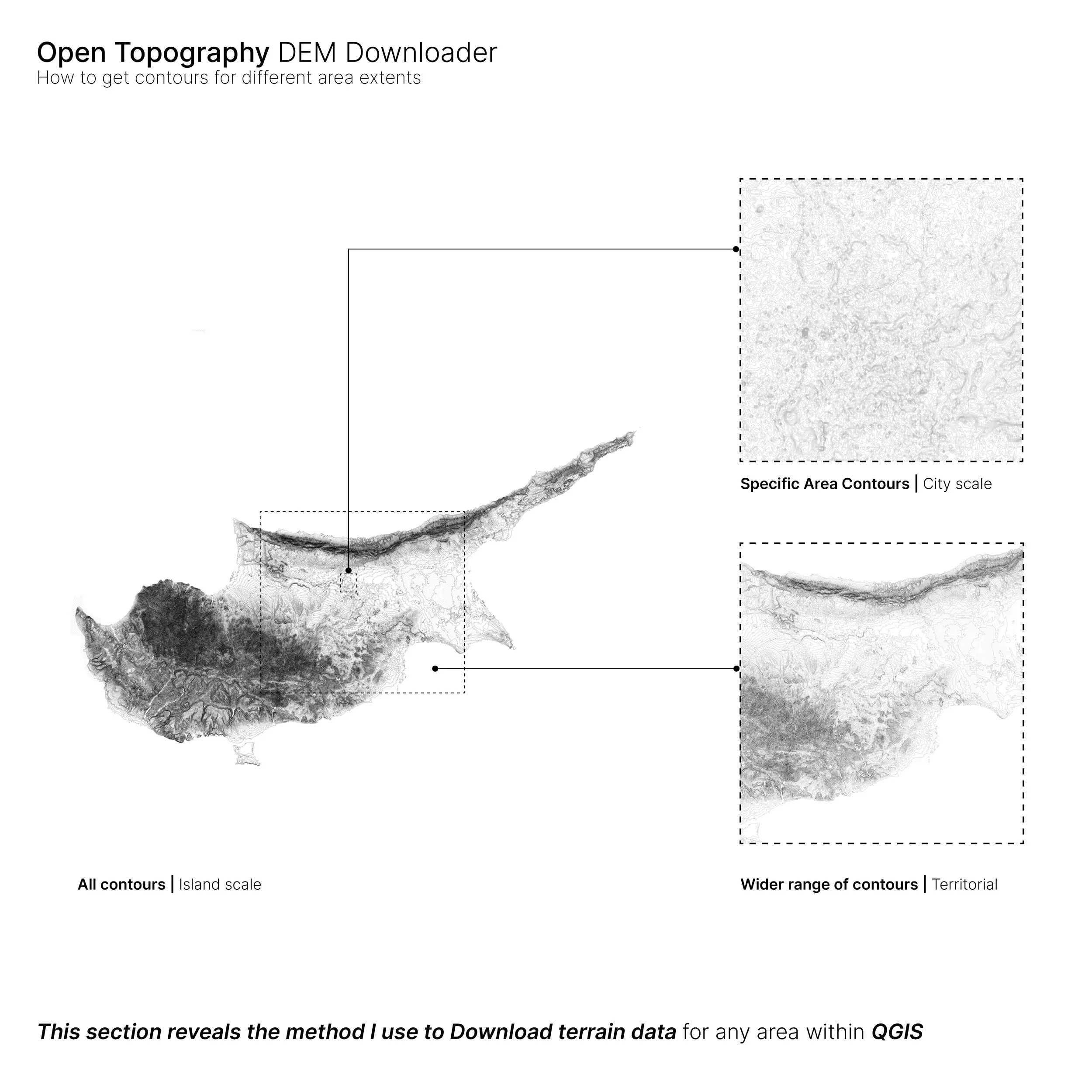 Image 3 of 7
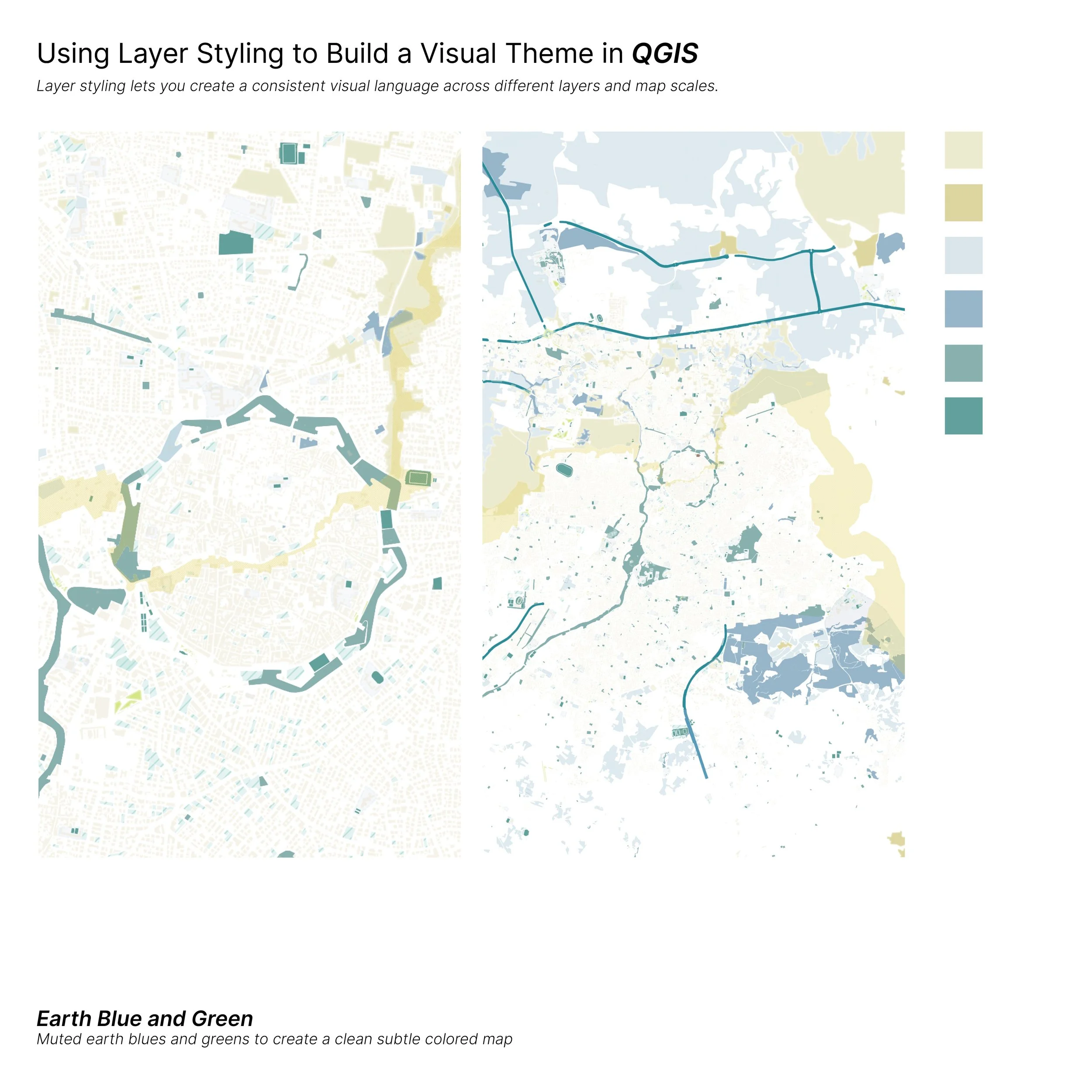 Image 4 of 7
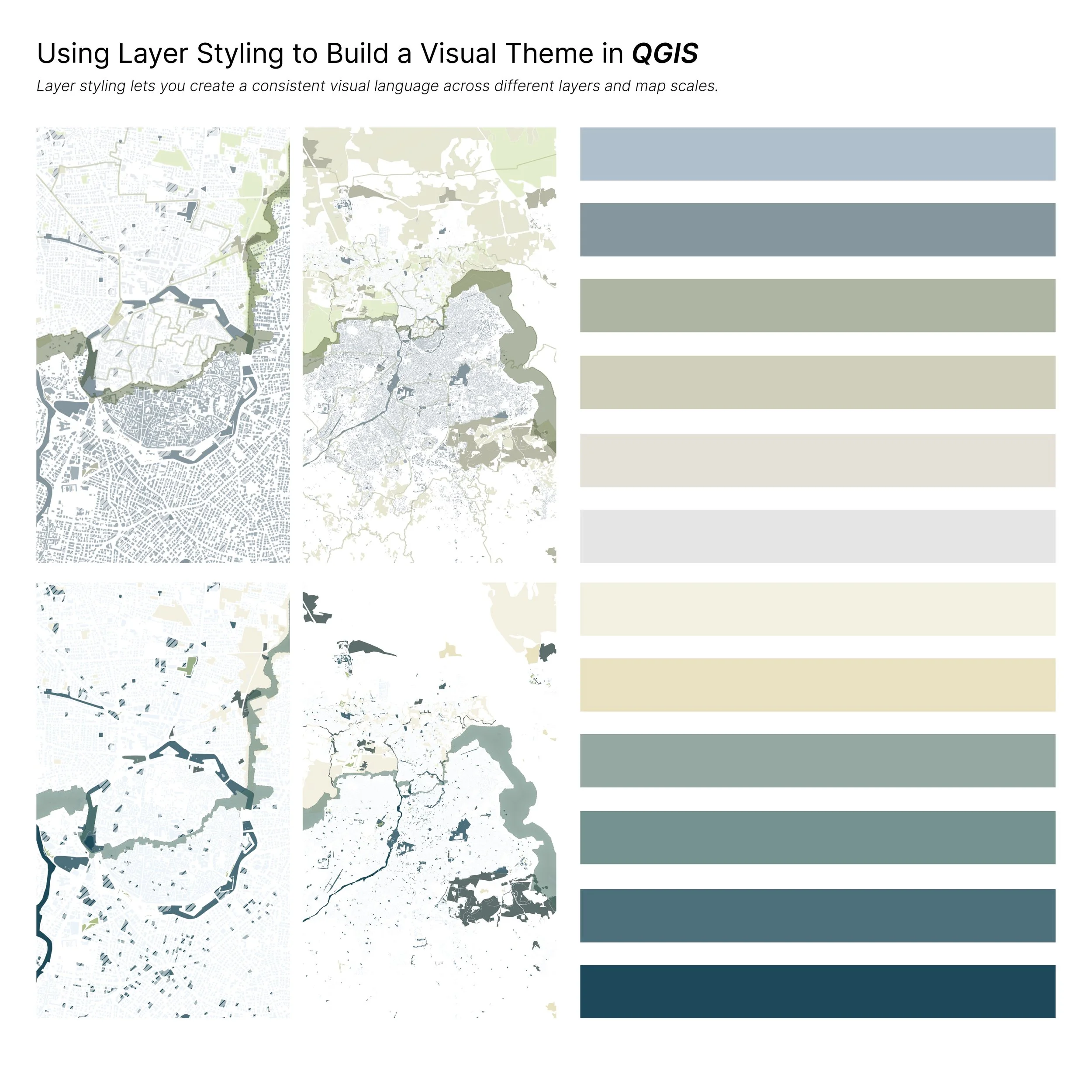 Image 5 of 7
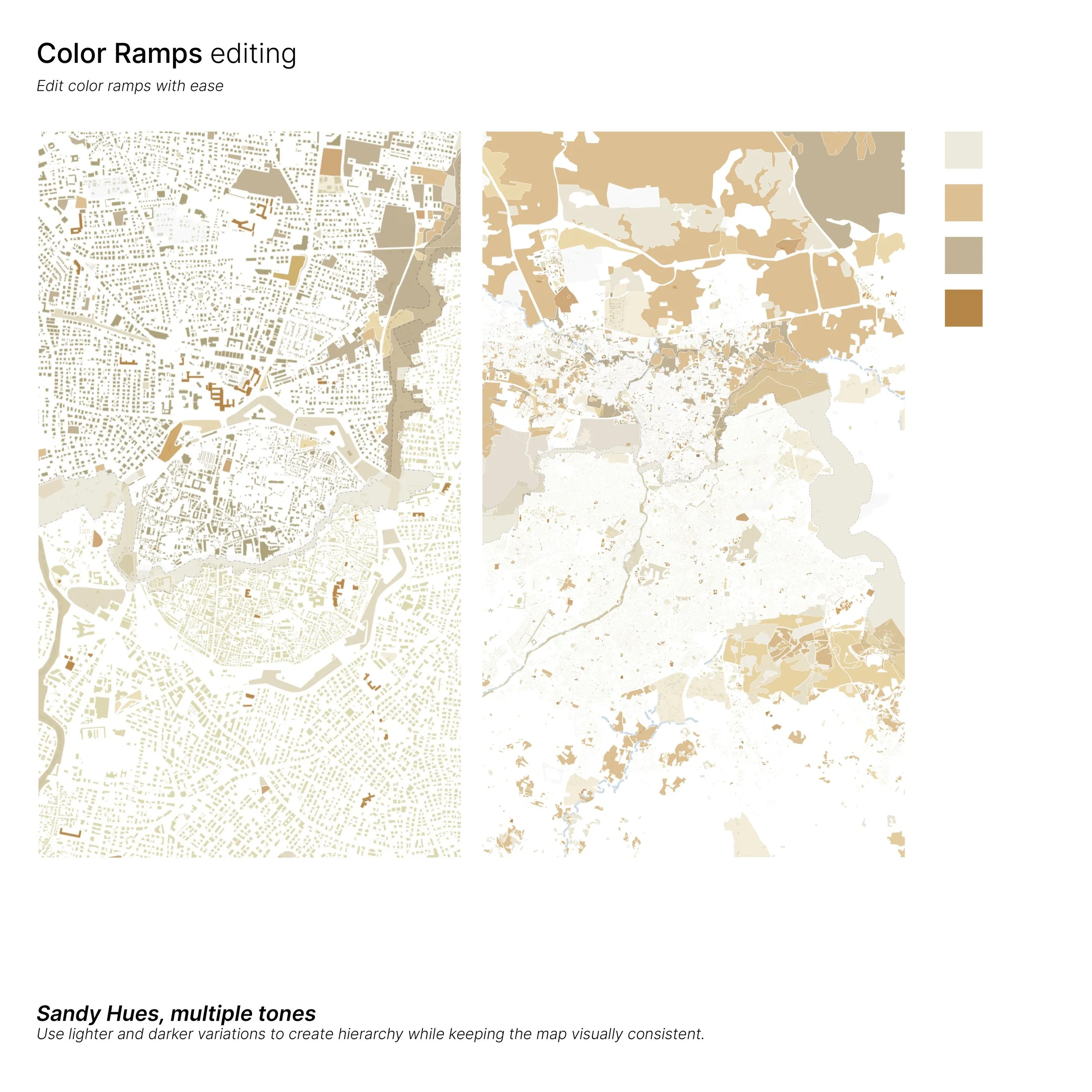 Image 6 of 7
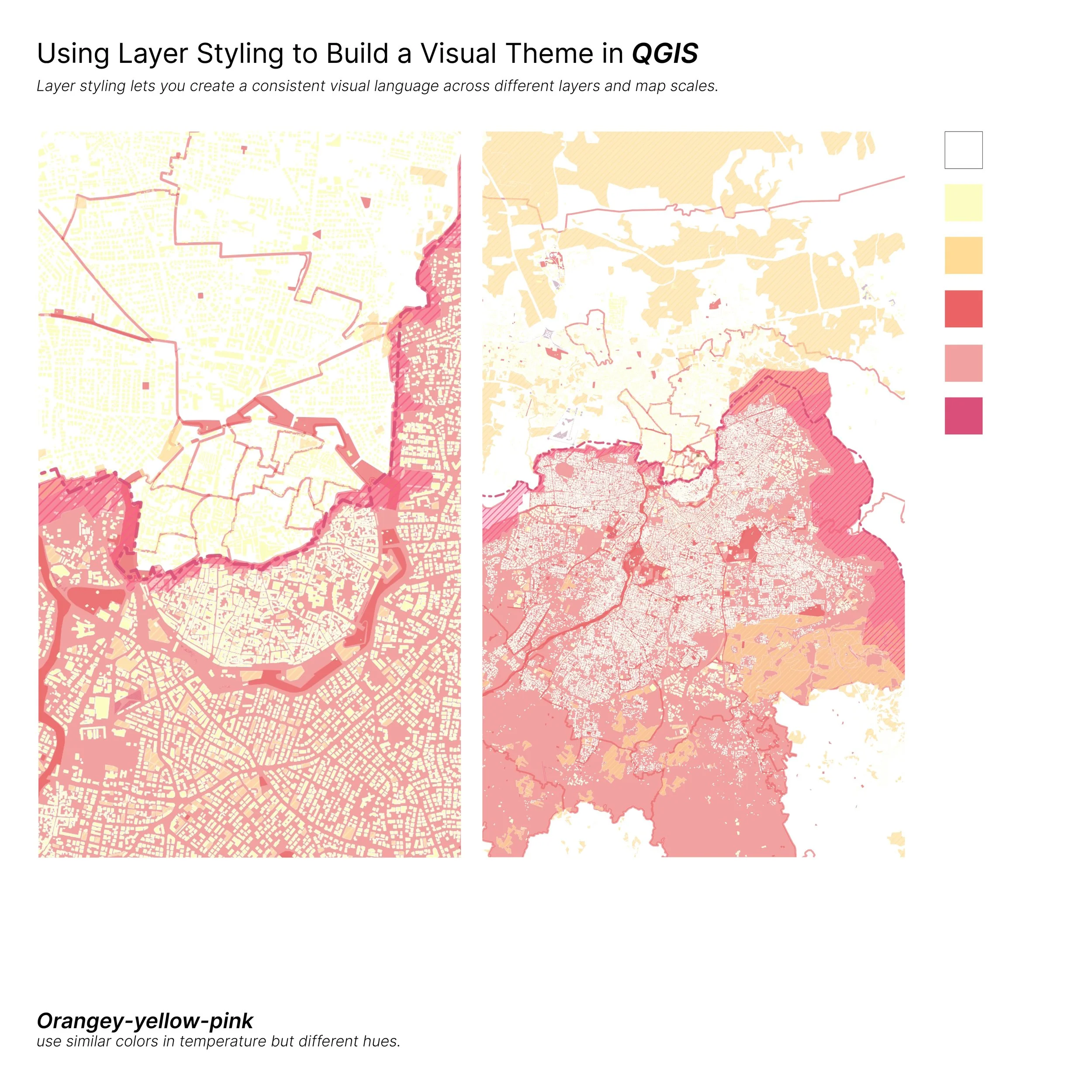 Image 7 of 7